Travel guide
Is the Sahara desert in Morocco? Yes, and this is where it starts
The short answer to “is the Sahara desert in Morocco” is yes, but only in the south and south-east of the country. Morocco holds a strip of the desert’s north-western edge, on the far side of the High Atlas and Anti-Atlas mountains from Marrakech, Fes and the Atlantic cities. That is where you find the two big dune fields, Erg Chebbi and Erg Chigaga, along with far larger stretches of stony plateau. This page shows where each desert area sits on the map and how far it is from Marrakech. For trip planning, camps and routes, see our Sahara desert Morocco guide.
Where is the Sahara desert in Morocco?
The Sahara covers parts of about ten countries in North Africa, from Egypt and Sudan in the east to Mauritania and Morocco in the west. Britannica lists Morocco among them, and Wikipedia describes the Moroccan share as “parts of southern Morocco”, with Western Sahara counted on its own.
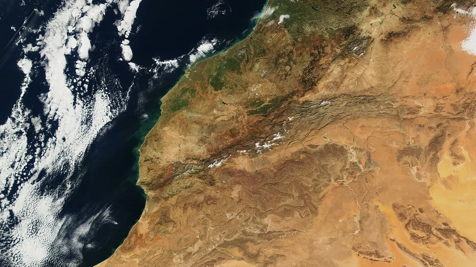
On a map of Morocco, use the mountains as your guide. The Atlas ranges run diagonally across the country from the south-west to the north-east. North and west of them lie the plains and the big cities. South and east of them, the land dries out quickly. The valleys of the Drâa, the Dadès and the Ziz still carry water and long palm groves, but the plateaus between those rivers are true desert, and they run on to the closed border with Algeria.
In administrative terms, most of the Moroccan Sahara falls in the Drâa-Tafilalet region. Its two southern provinces matter most to visitors: Zagora, which holds Erg Chigaga and the end of the Drâa valley at M’hamid, and Errachidia, which holds Merzouga and Erg Chebbi. Further west, the dry country continues through Tata province toward Guelmim, a town in the south-west that is often nicknamed the “gateway to the desert”.
How the Saharan zone is defined
There is no fence or sign where the Sahara begins, so geographers use two common definitions. The climatic one puts the northern limit where average rainfall drops below about 100 mm a year. The botanical one, used by the botanists Frank White and Robert Capot-Rey, follows the northern limit of date palm cultivation.
Both lines fall on the far side of the mountains. Marrakech gets about 221 mm of rain a year, so it sits well outside the desert. Zagora, in the Drâa valley, gets about 61 mm and has a hot desert climate, with date palms all along the river. The High Atlas is not the official boundary, but its rain shadow is the main reason the change happens there.
How much of Morocco is desert?
You will see many percentages online, and most of them mix up different things. Moroccan forestry officials say about 93% of the country has an arid or semi-arid climate. That figure covers dry steppe and farmland too, not only sand and stone desert. We found no agreed figure for the share of Morocco that is true Sahara, so we do not give one. What the maps do show is that the hyper-arid zone is the south and south-east, beyond the Atlas, and that Western Sahara, which is almost entirely desert, is usually counted separately because its status is disputed.
Sahara desert in Morocco map: the desert areas at a glance
The table works as a written map of the desert areas most travellers ask about. Road figures come from our distance from Marrakech to the Sahara desert guide, which compares Rome2rio with OpenStreetMap routing. Driving times are without stops.
| Desert area | What it is | Province (region) | Nearest town | From Marrakech | Terrain |
|---|---|---|---|---|---|
| Erg Chebbi | Sand sea | Errachidia (Drâa-Tafilalet) | Merzouga, at the edge of the dunes | 534 to 560 km, 8 h 30 to 10 h | Dunes up to about 150 m, paved road to the edge |
| Erg Chigaga | Sand sea, the largest in Morocco | Zagora (Drâa-Tafilalet) | M’hamid, 50 to 60 km of piste | 446 to 448 km of road, 7 h 40 to 8 h 40, then 1.5 to 3 h of piste | Dunes about 50 to 60 m, 4x4 only |
| Erg Lihoudi | Small dune field | Zagora (Drâa-Tafilalet) | M’hamid, about 8 km | 446 to 448 km plus a short piste | Low dunes, about 20 minutes by 4x4 from the village |
| Tinfou dunes | Small patch of dunes | Zagora (Drâa-Tafilalet) | Tamegroute, about 7 km; Zagora, about 25 km | About 375 to 385 km, roughly 6.5 to 7 h | A few dunes beside the N9 |
| Lake Iriki | Dry lake bed | Tata (Souss-Massa), in Iriqui National Park | Foum Zguid, 40 to 50 km of piste | 311 km of road, then the piste | Flat clay pan, usually dry |
| Hamada around Merzouga | Stony plateau | Errachidia (Drâa-Tafilalet) | Merzouga, Rissani | As for Erg Chebbi | Dark rocky plain from which the dunes rise |
| Agafay (not Sahara) | Stony semi-desert | Marrakech-Safi | Marrakech | 27 to 40 km, 30 min to 1 h | Bare hills, no big dunes |
If you want to drop a pin, Erg Chebbi is centred near 31.17° N, 3.98° W, and the main Erg Chigaga dunes near 29.8° N, 6.2° W. Map apps spell the second one Chigaga, Chegaga or Chgaga, so try all three. The Tinfou row adds the roughly 25 km south of Zagora to the Marrakech to Zagora figure, so treat it as an estimate.
The ergs: where the sand dunes are
An erg is a sea of wind-blown sand. Morocco has only a few, and they are far apart.
Erg Chebbi, near Merzouga
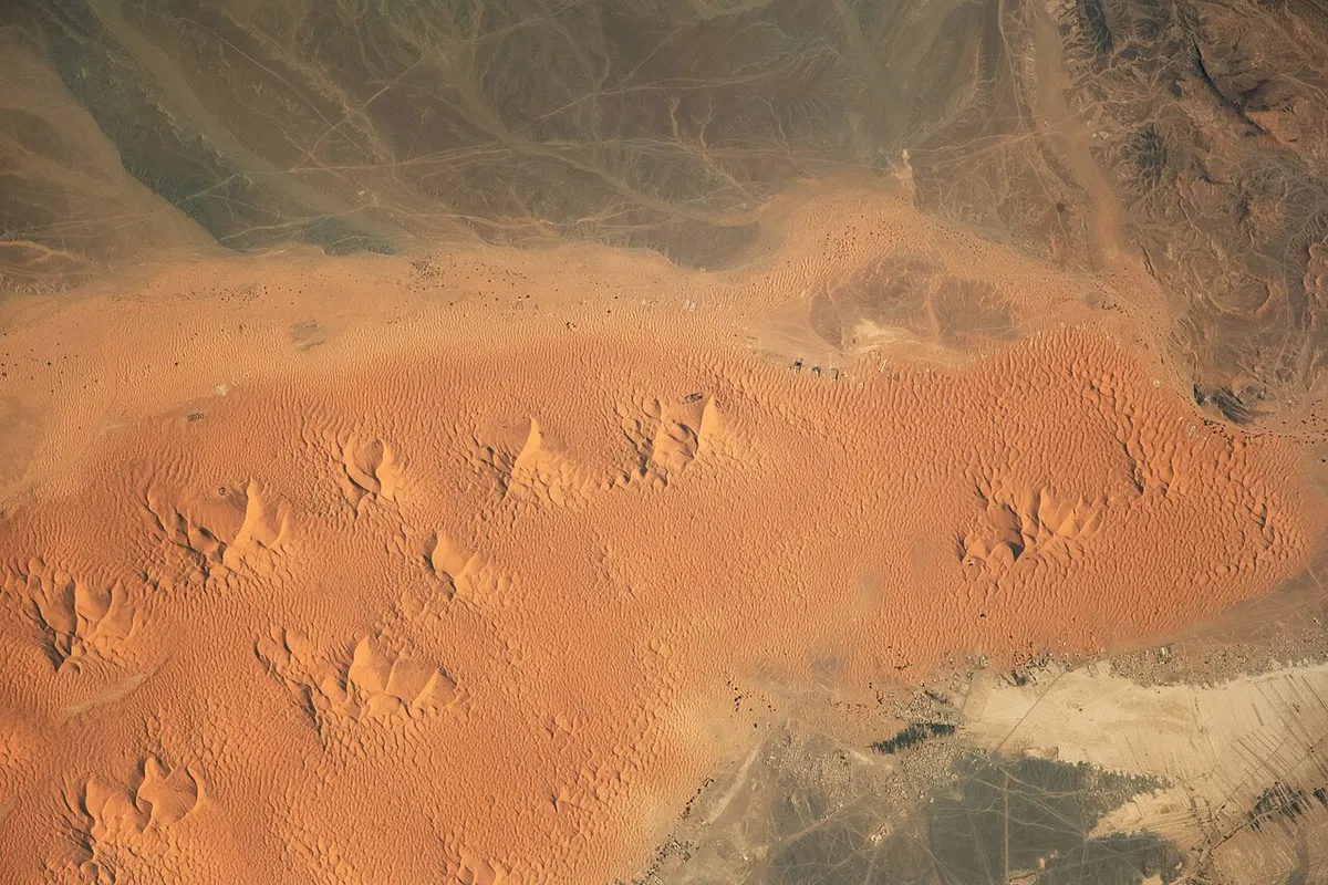
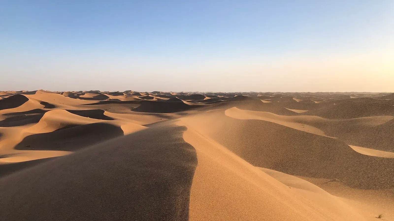
Erg Chebbi rises right behind the village of Merzouga in the Tafilalet, close to the Algerian border. It runs 22 to 28 km from north to south, depending on the source, and its highest dunes reach about 150 m above the surrounding plain. A paved road reaches the village, which is why it has the most camps and hotels. The Erg Chebbi vs Erg Chigaga comparison explains the trade-off between the two.
Erg Chigaga, west of M’hamid
Erg Chigaga is the bigger sand sea and the harder one to reach. It starts about 50 to 60 km west of M’hamid El Ghizlane, where the tarmac of the N9 ends, and almost all of it lies inside Iriqui National Park. No road goes there, only 4x4 pistes from M’hamid or from Foum Zguid across the dry bed of Lake Iriki. The Erg Chigaga guide covers its size, camps and weather.
Smaller dunes: Tinfou and Erg Lihoudi
Between Zagora and M’hamid, the N9 passes a few small patches of sand. The Tinfou dunes are a compact mound about 7 km south of Tamegroute, fine for a short camel ride but nothing like a sand sea. Erg Lihoudi, about 8 km north-east of M’hamid and around 20 minutes away by 4x4, is the usual choice for a first night in a desert camp if you are not going on to Erg Chigaga.
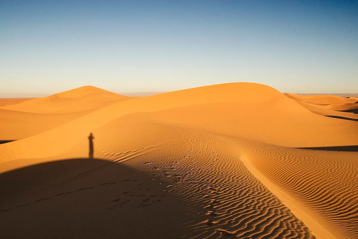
Hamada and reg: the stony Sahara in Morocco
Most of the Moroccan Sahara is stone. A hamada is a high, bare rocky plateau where the wind has blown the sand away, and a reg is a flat gravel plain. Both are far more common than dunes. The Erg Chebbi dunes rise from a dark hamada, and the pistes to Erg Chigaga cross long stretches of gravel and the dry clay of Lake Iriki before the sand begins.
South of the Drâa river, the largest of these plateaus, the Hamada du Drâa, spreads across the border areas of Morocco, Western Sahara and Algeria. It is not a sight in its own right, and much of it lies along closed or militarised borders. Still, the name helps you read a map of the south: the wide empty areas are hamada and reg, and the sand seas are the small named patches between them.
Is the Sahara desert near Marrakech?
No. Marrakech lies north of the High Atlas, and every route to the Sahara crosses the mountains by the Tizi n’Tichka pass, signposted at 2,260 m. Zagora, the first town in the desert proper, is 349 to 360 km away.
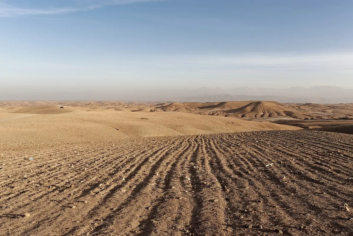
The desert you can reach in under an hour is Agafay, a plateau of bare stony hills about 30 to 40 km south-west of the city. It looks dry and empty, and the camps there call it a desert, but it gets the same rainfall as Marrakech and has no big dunes. If you typed “is Sahara desert in Morocco” after seeing a “Sahara” day trip advertised in Marrakech, this is the catch. Agafay is a good evening out, and our Agafay desert guide explains what to expect. For dunes, plan at least three days.
Is the Sahara desert in Morocco or Algeria?
Both, and the two countries share a long desert border. Algeria holds a far larger part of the Sahara than Morocco does. Erg Chebbi lines the Algerian border, and M’hamid is only about 25 km from it in a straight line.
That border has been closed for years, and you cannot cross it by land. As of November 2026, Canada advises against all travel within 20 km of it, and France asks for heightened vigilance along its southern stretch. The usual tourist routes to Merzouga, M’hamid and Erg Chigaga are not on any government’s list of places to avoid, but they run through border country, so stay on known tracks with a local driver. Our page on whether the Sahara desert in Morocco is safe goes through the advisories in detail.
Western Sahara: why maps of Morocco differ
South-west of Morocco’s internationally recognised borders lies Western Sahara, a territory of almost pure desert along the Atlantic coast. Its status is disputed. Morocco administers most of it, including the coast and the cities of Laâyoune and Dakhla, and treats it as its southern provinces. The Polisario Front, which wants independence, controls the land east and south of the Berm, a long militarised wall. The UN still lists Western Sahara as a non-self-governing territory.
That is why two maps of Morocco can look so different. Maps printed in Morocco show the kingdom running south to Mauritania. Many international maps draw Western Sahara separately, often with a dashed line. Neither changes anything for a trip to Erg Chebbi or Erg Chigaga, which both lie well north of the territory.
If you plan to go there, read the official advice first. As of 14 November 2026:
- The UK advises against all travel within 40 km north and west of the Berm, including the city of Es Semara, and to all areas south and east of it (page updated 29 June 2026).
- Canada advises against non-essential travel to Western Sahara because of terrorism and unexploded landmines, and against all travel within 30 km west of the Berm (updated 26 May 2026).
- France says that any route leaving the paved coastal road needs prior approval from the gendarmerie or the armed forces.
The UN mission that had monitored the ceasefire since 1991, MINURSO, lost its mandate when the Security Council failed to renew it at the end of October 2026, and began winding down on 1 November. The dispute itself is unresolved. If any advisory changes after that, follow the newer version.
Plan your trip to the Moroccan Sahara
- Read the Sahara desert Morocco guide to choose between the Drâa valley and Merzouga routes.
- Check drive times in our distance from Marrakech to the Sahara desert guide.
- See Erg Chigaga tours or Marrakech desert tours for guided trips to the big dunes.
Frequently asked questions
Is the Sahara desert in Marrakech?
No. Marrakech sits on the Haouz plain north of the High Atlas and gets about 221 mm of rain a year, more than twice the 100 mm line usually drawn as the Sahara's northern limit. The nearest real desert town, Zagora, is 349 to 360 km away by road over the Tizi n'Tichka pass. The stony Agafay desert, 30 to 40 km from the city, is often sold as a desert trip, but it is not part of the Sahara.
How far is the Sahara desert from Marrakech?
It depends on the dunes you mean. Route planners give 349 to 360 km to Zagora, where the desert begins, and 446 to 448 km to M'hamid, the last village before Erg Chigaga, which is another 50 to 60 km of 4x4 piste. Merzouga, beside Erg Chebbi, is 534 to 560 km away. Each of the big ergs is a full day's drive from Marrakech, so most trips take at least three days.
What percentage of Morocco is desert?
There is no single agreed figure for true desert. Moroccan forestry officials say about 93% of the country has an arid or semi-arid climate, which is a much wider category than sand and stone desert. The hyper-arid Saharan zone is the south and south-east, beyond the Atlas ranges. Western Sahara, which is almost entirely desert, is usually counted separately because its status is disputed.
Is the Sahara desert in Morocco or Algeria?
Both. The Sahara stretches across about ten North African countries plus Western Sahara, and Morocco holds a strip of its north-western edge while Algeria holds a far larger share. Erg Chebbi, near Merzouga, runs along the Algerian border. The land border between the two countries is closed, and Canada advises against all travel within 20 km of it, as of November 2026.
Is Western Sahara part of Morocco?
Its status is disputed. Morocco administers most of the territory, including the coast and the main towns, and considers it part of the kingdom. The Polisario Front, which seeks independence, controls the area east and south of a long defensive wall called the Berm. The UN still lists Western Sahara as a non-self-governing territory. Maps differ for that reason, and governments issue separate travel advice for it.
Where can I find a map of the Sahara desert in Morocco?
OpenStreetMap and Google Maps both mark Erg Chebbi, Erg Chigaga (sometimes spelled Chegaga) and the towns around them. Search for the gateway towns, Merzouga, M'hamid, Zagora and Foum Zguid, rather than for the dunes alone. Download an offline map before you leave the main roads, because phone signal is patchy beyond M'hamid and there are no signposts on the pistes.
Sources we checked
- Sahara (Wikipedia)
- Sahara summary (Encyclopaedia Britannica)
- Geography of Morocco (Wikipedia)
- Erg Chebbi (Wikipedia)
- Sandy sculptures in Morocco's Erg Chebbi (NASA Earth Observatory, via Wikimedia Commons)
- Erg Chigaga (Wikipedia)
- Hamada (Wikipedia)
- Zagora, Morocco: climate (Wikipedia, climate-data.org figures)
- Marrakesh: climate (Wikipedia, NOAA normals)
- Guelmim (Wikipedia)
- Désert d'Agafay (Wikipédia)
- 93 percent of Moroccan land is threatened by desertification (The Moroccan Times, 2023)
- FAO: mesures d'urgence et résilience des populations vulnérables (Le Matin, 2018)
- Western Sahara (Wikipedia)
- Western Sahara travel advice (GOV.UK)
- Travel advice and advisories for Morocco, including Western Sahara (Government of Canada)
- Conseils aux voyageurs Maroc : sécurité (France Diplomatie)
- UN peacekeeping mission in Western Sahara ends after 35 years (ITV News, 1 November 2026)
- UN begins shutting down Western Sahara peacekeeping mission (The National, 2 November 2026)
- Marrakech to Merzouga (Rome2rio)
- Marrakech to M'Hamid El Ghizlane (Rome2rio)
Keep exploring
Related pages
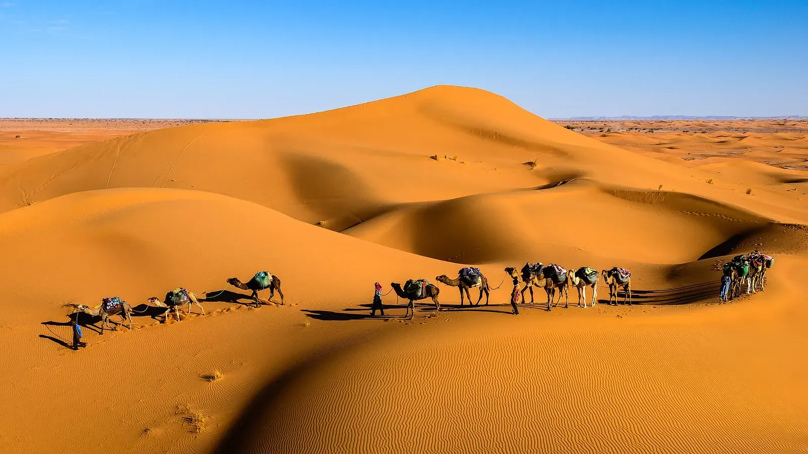 Sahara desert MoroccoSahara desert Morocco guide: where the real dunes are, erg vs hamada, the Drâa and Merzouga routes, drive times and how many days you need.Read the guide
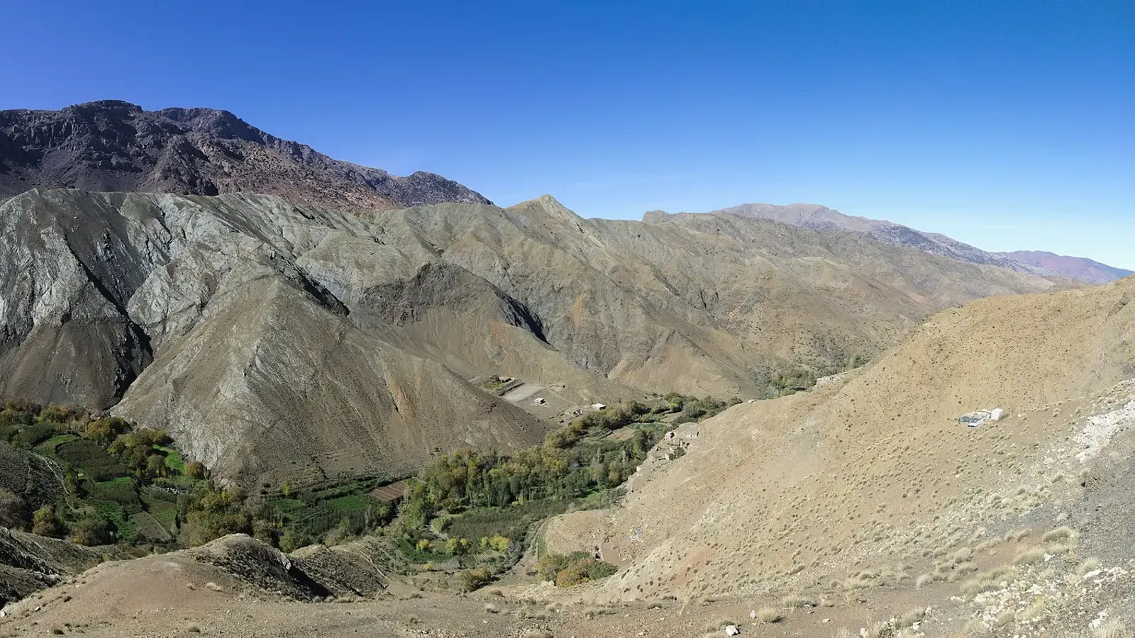 Distance from Marrakech to Sahara desert campsDistance from Marrakech to Sahara desert dunes: Zagora 350 km, Erg Chigaga about 500 km, Merzouga 534 to 560 km. Drive times, Tichka pass, buses, flights.Read the guide
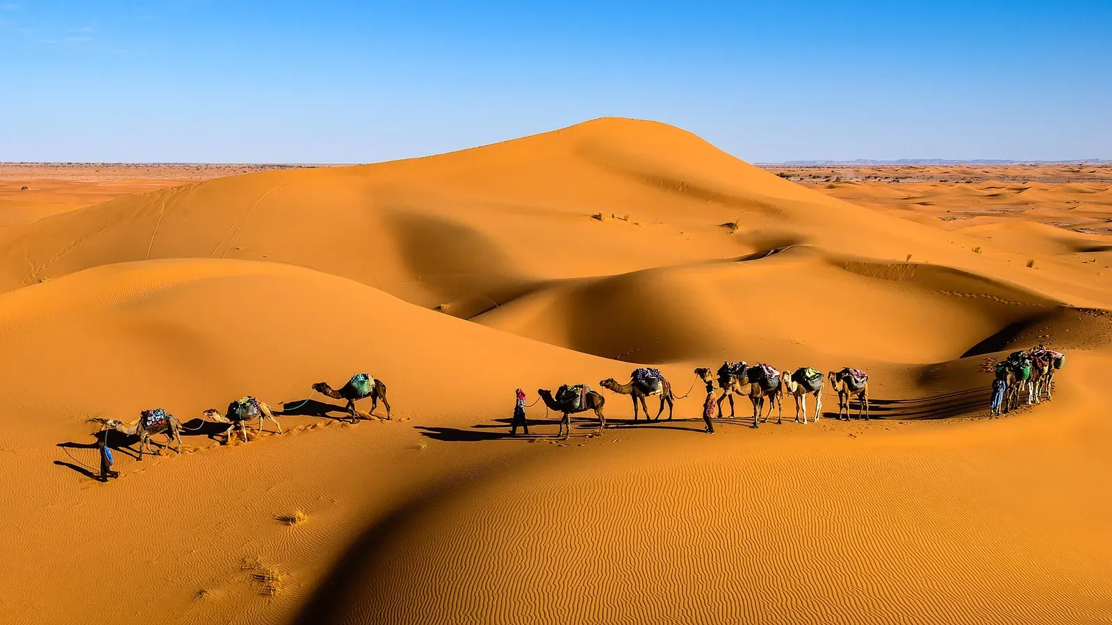 Erg ChigagaErg Chigaga guide: where it is, how high the dunes really are, the 4x4 piste from M'hamid, camp types, best months and how many days to plan.Read the guide
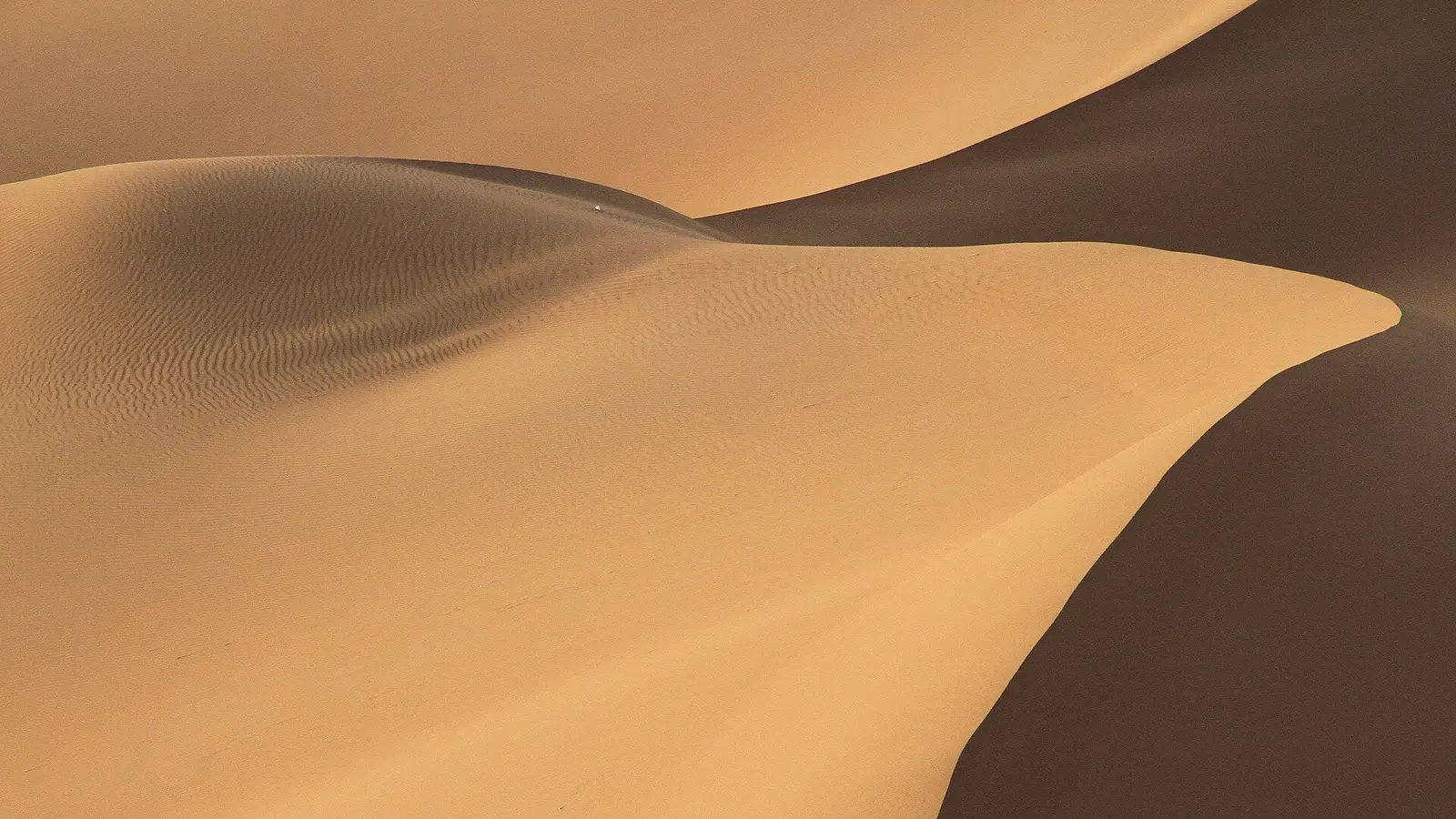 Erg Chebbi vs Erg ChigagaErg Chebbi vs Erg Chigaga, compared honestly: access, drive times from Marrakech and Fes, dune height, crowds, camps and who each desert suits.Read the guide
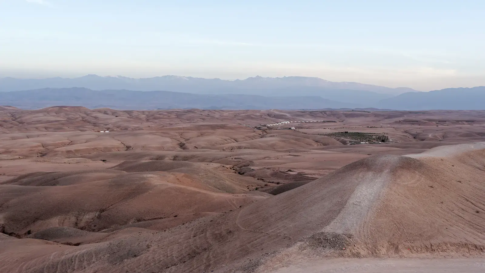 Agafay desert MoroccoAgafay desert Morocco: a stony semi-desert 30 to 40 km from Marrakech, not the Sahara. Distance, camps, what to do, and when Erg Chigaga is a better pick.Read the guide
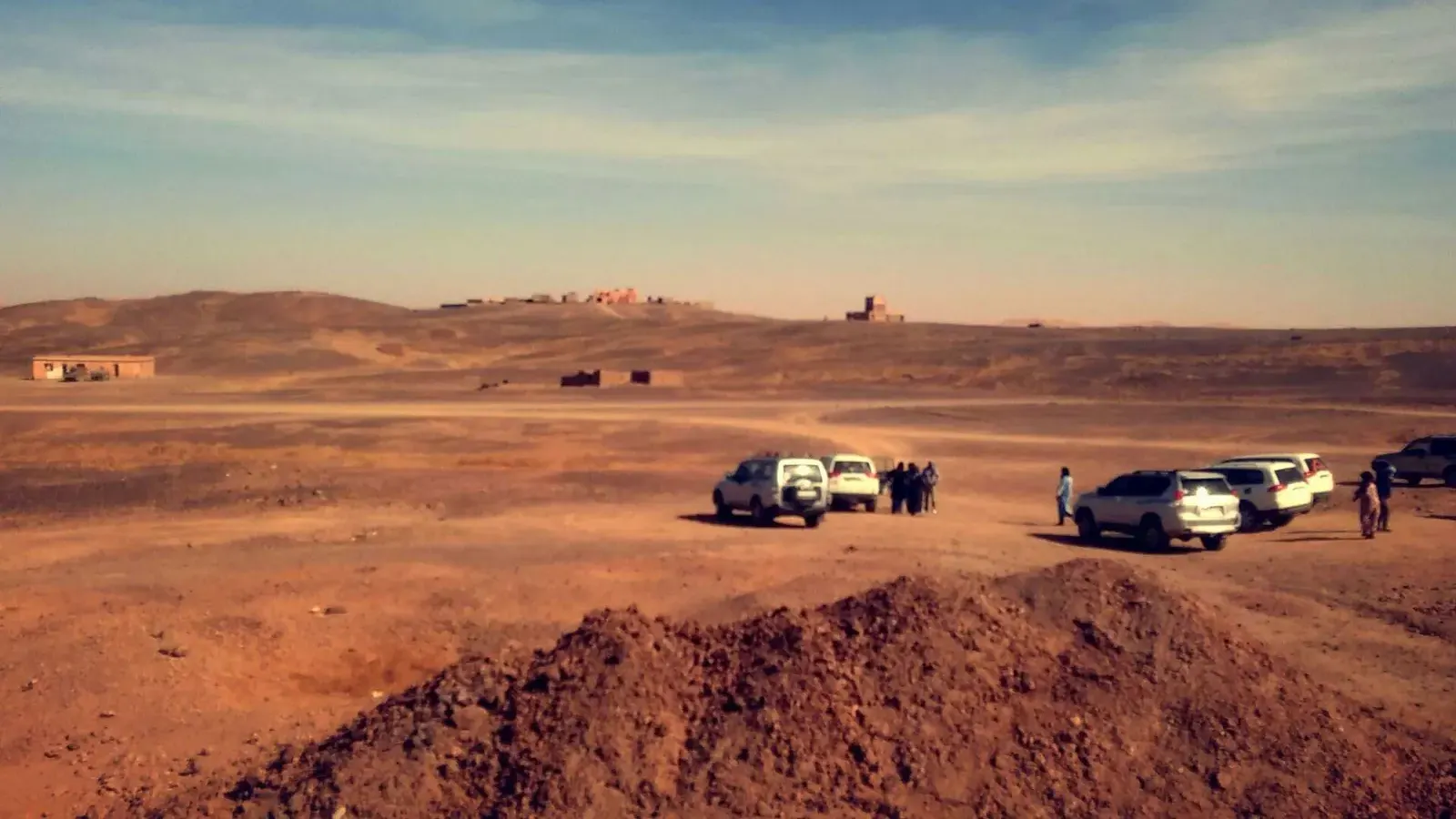 Is the Sahara desert in Morocco safe? Advisories, real risks and how to manage themIs the Sahara desert in Morocco safe? US, UK, French and Canadian advice as of November 2026, plus the Algerian border, heat, scorpions and snakes.Read the guide
 The best desert in Morocco for your tripThe best desert in Morocco depends on your days and start city. Erg Chigaga, Erg Chebbi, Zagora, M'hamid and Agafay compared for dunes, crowds and access.Read the guide