
Destination guide
Foum Zguid: the oasis town on the back road to Erg Chigaga
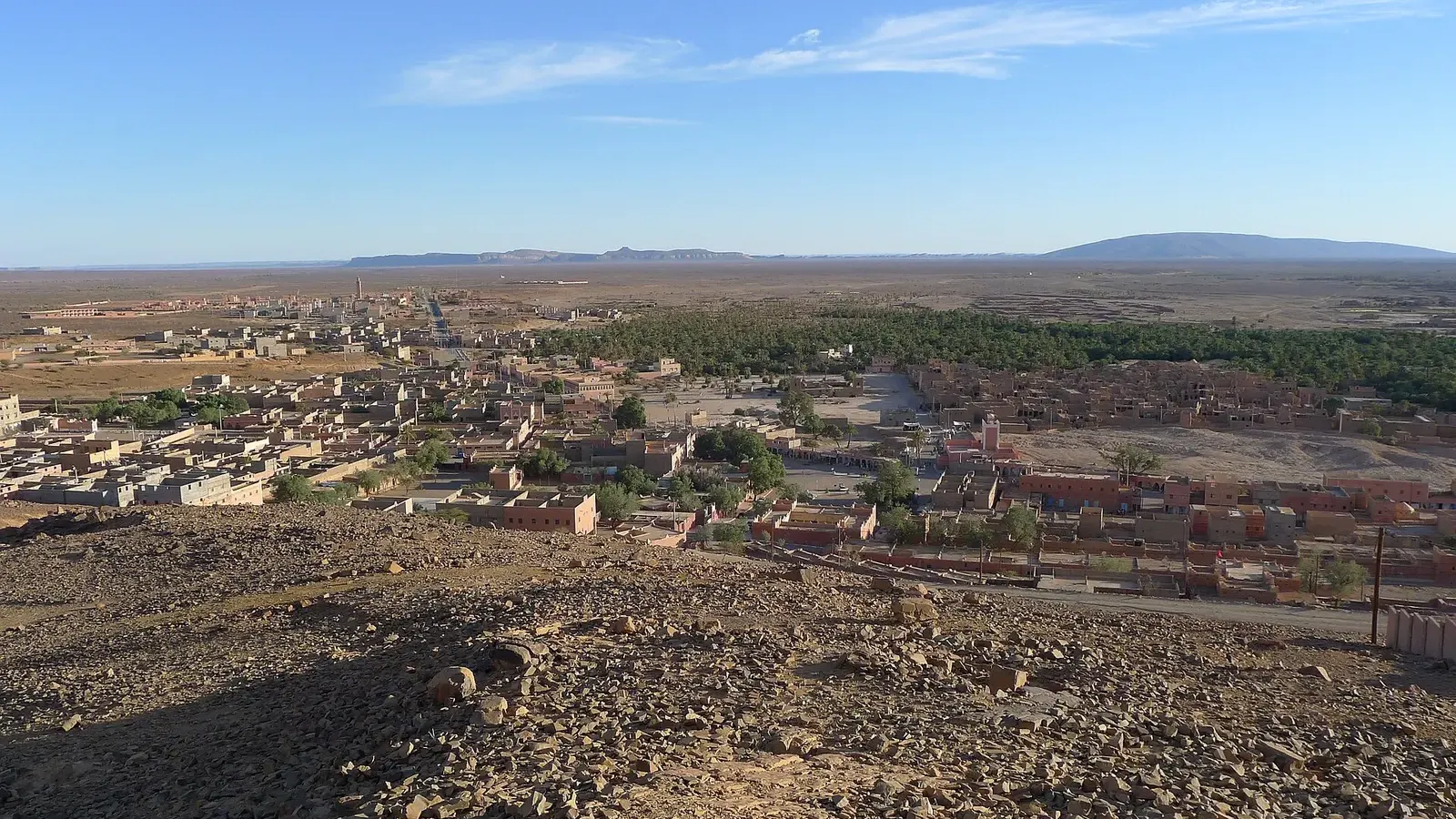
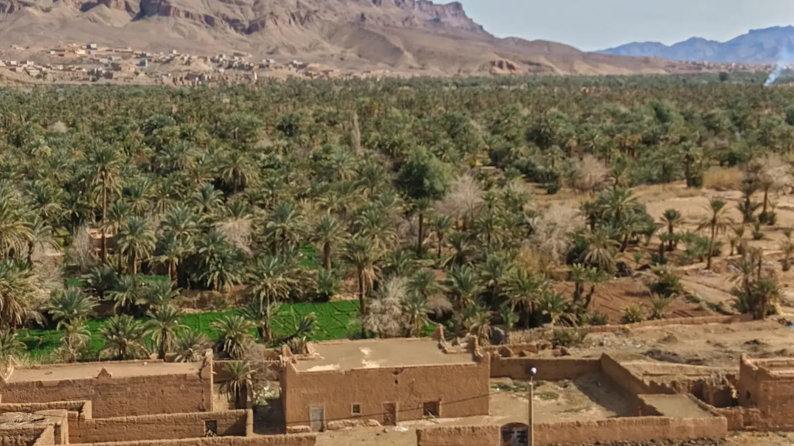
Foum Zguid is a small oasis town in Tata province, in Morocco’s deep south, and the last stretch of tarmac before the western piste to Erg Chigaga. It sits where the Oued Zguid cuts through the Jbel Bani ridge (the Arabic name means “mouth of the Zguid”), with a palm grove on one side and open hamada on the other. Most visitors come through on the way to Lake Iriki and the dunes, and from Agadir it is the shortest way to get there.
Where is Foum Zguid?
The town lies on the N12, the long east to west road that links Zagora with Tata, Akka and Guelmim. Most maps and guides use N12 for this stretch, though some newer map data labels it N17, so do not be thrown if your phone shows a different number. A second road, the R111, runs north from town across the Anti-Atlas foothills to meet the Agdz to Tazenakht road, which is how traffic from Agadir, Marrakech and Ouarzazate arrives.
Administratively, the town is an urban commune of Tata province in the Souss-Massa region. The 2024 census counted 8,660 residents, a little fewer than in 2004 (9,630). The palm groves of the wider area hold many more people, scattered in villages along the wadis. The town sits at roughly 650 to 760 m above sea level, depending on which source and which end of town you measure.
South of town the land opens towards Iriqui National Park and, further on, the closed Algerian border. No road goes that way. Everything south of here is piste.
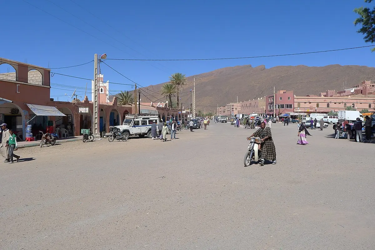
Foum Zguid distances and drive times
These figures come from two route planners (Rome2Rio and OSRM, which uses OpenStreetMap data). Where they differ, the table gives the range. They are driving times without stops; real trips run longer.
| From / to | Road distance | Driving time | Route |
|---|---|---|---|
| Agadir | 353 to 356 km | 4 h 50 to 5 h 30 | N10 via Taroudant and Taliouine, then the R111 |
| Marrakech | 311 to 317 km | 5 h to 5 h 45 | N9 over the Tizi n’Tichka, then Tazenakht |
| Ouarzazate | about 151 km | 2 h 40 to 3 h | via the R108 and R111 |
| Zagora | 123 to 124 km | 1 h 50 to 2 h | N12 east |
| Tata | about 137 km | 2 to 2 h 20 | N12 west via Tissint |
| Tissint | about 67 km | about 1 h | N12 west |
| M’hamid (by road) | about 180 to 220 km | about 4 h | N12 to Zagora, then the N9 south |
| Lake Iriki (western edge) | about 40 to 50 km of piste | about 1 h | 4x4 only |
| Erg Chigaga | about 60 to 100 km of piste | 2.5 to 3 h (up to 3.5 h with a stop at the lake) | 4x4 only, via Lake Iriki |
The piste figures vary because there is no single track. Drivers pick a line depending on sand, the state of the lake bed and which camp they are heading for.
Agadir to Foum Zguid by road
The drive from Agadir runs east on the N10 past Taroudant and the saffron country around Taliouine, climbs over the Anti-Atlas towards Tazenakht, then drops south on the R111. The road is paved the whole way. Expect a full morning or afternoon at the wheel: about 355 km and, with one proper stop, close to 6 hours.
From Marrakech you cross the High Atlas on the N9 over the Tizi n’Tichka and turn off towards Tazenakht before reaching Ouarzazate, for about 311 to 317 km. From Ouarzazate itself it is about 151 km, under three hours.
There is no direct bus (as of November 2026). Rome2Rio lists CTM and Supratours coaches from Marrakech or Agadir to Ouarzazate, then a grand taxi for the last leg. That works for the town, but it will not get you across the desert: for the piste you need a 4x4 and a driver.
Why Foum Zguid is the most direct route to Erg Chigaga from Agadir
Most Erg Chigaga trips start in M’hamid, at the end of the N9 south of Zagora. From Agadir that means a long dogleg: about 540 to 565 km of road to M’hamid, roughly 8.5 to 9 hours of driving, before you even reach the piste. Going the western way cuts the tarmac to about 355 km. You then trade the last 200 km of road for 60 to 100 km of desert track, which is slower per kilometre but is also the part of the trip people come for.
The numbers look like this:
| From Agadir | Tarmac | Piste | Total driving (approx.) |
|---|---|---|---|
| Via Foum Zguid | about 355 km | about 60 to 100 km | 7.5 to 9 hours |
| Via Zagora and M’hamid | about 540 to 565 km | about 50 to 60 km | 10 to 12 hours |
The western route also crosses Lake Iriki, which the M’hamid route usually skips. Many tours combine the two: in from the west, out through M’hamid and Zagora, so you see both sides without doubling back. If you start in Marrakech the gap is smaller (about 311 to 317 km against 446 to 448 km to M’hamid), but the western approach still saves road time. Our guide on how to get to Erg Chigaga compares every option.
Foum Zguid to Erg Chegaga: the piste via Lake Iriki
The track leaves the tarmac just south of town. The regional tourism board gives the turn-off near 30.0602, -6.8693 and describes a stony track that runs along Jbel Madouer Kbir and Jbel Madouer Sghir towards the lake.
The crossing has three distinct parts:
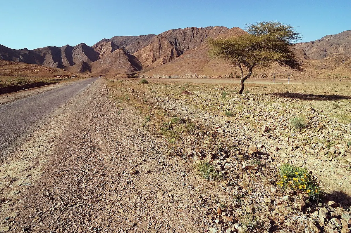
- First comes the hamada, a flat, stony plain with scattered acacias and corrugations that shake everything loose. This is the bumpiest stretch.
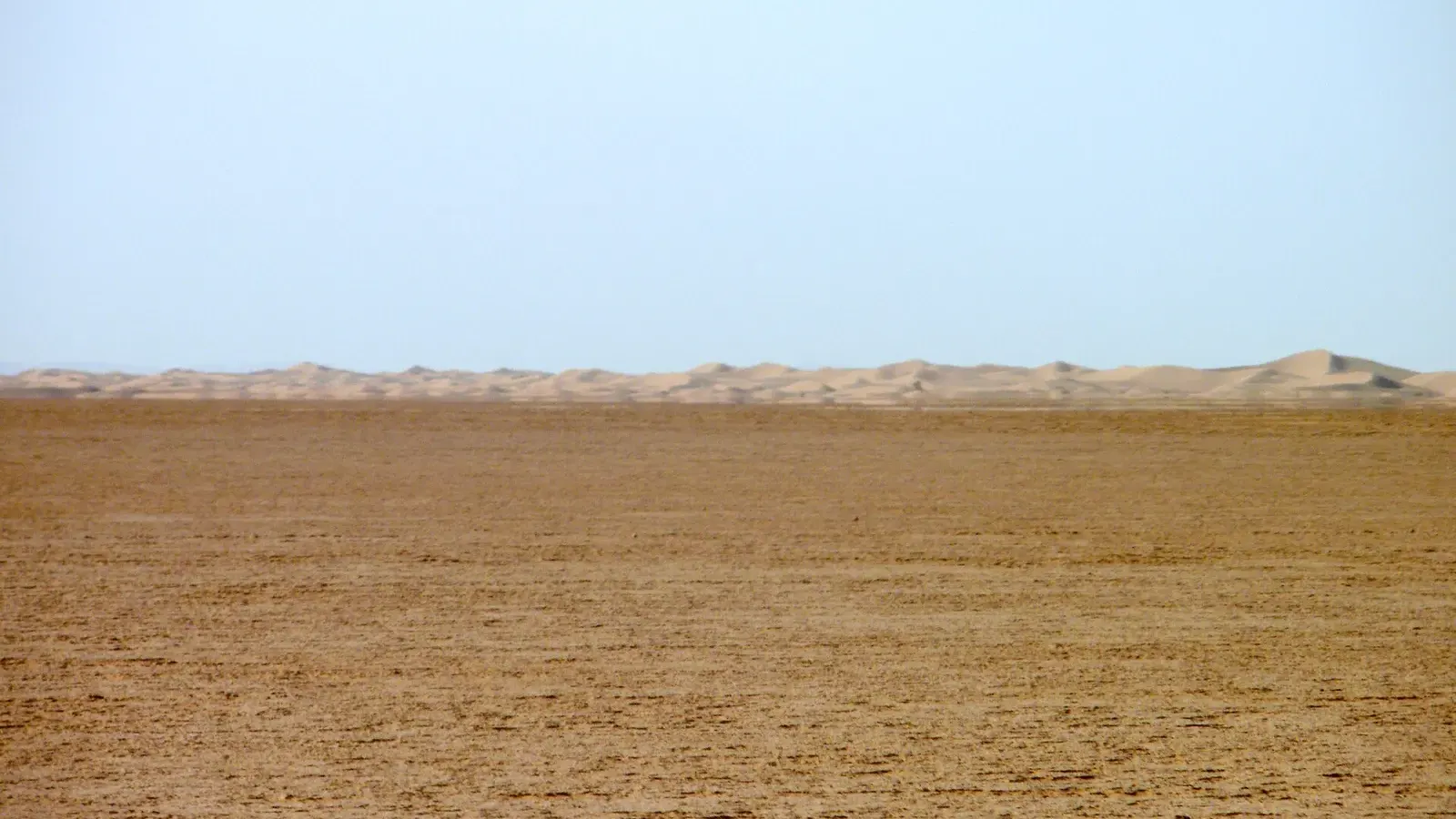
- Then Lake Iriki, a dry clay pan some 10 to 13 km across and so flat that drivers can finally speed up. On hot days its far edge wobbles in the heat and can look like water.
- East of the lake the ground softens, low dunes and tamarisk bushes appear, and the big dunes of Erg Chigaga rise ahead. The tourism board puts some of them at about 50 to 60 m.
Allow 2.5 to 3 hours, or up to 3.5 hours with a stop on the lake. The tourism board says the full traverse through the dunes to M’hamid takes 5 to 6 hours of driving and that a 4x4 is mandatory. It also warns that after wet months, especially October to December, the lake bed can turn to mud that traps vehicles, so check conditions first.
Do not attempt this crossing alone in a hire car. The tracks fork, sand moves, and there is no phone coverage for long stretches. Even experienced drivers travel with a local guide or in pairs.
Desert Foum Zguid: what the land around town looks like
People searching for “desert Foum Zguid” sometimes expect dunes at the edge of town. There aren’t any. The town is a palm oasis surrounded by black and brown rock: Jbel Bani to the north, hamada to the south. The sand sea starts some 60 km away. Small dune patches exist closer in, but the big Saharan dunes you see in photos are at Erg Chigaga.
What the immediate area does have is space and quiet. A few camps and campsites sit near the palm grove and on the edge of the hamada, and the nights are dark enough for good stargazing once you leave the town lights behind.
What to do in Foum Zguid
The town is a pleasant place to spend an evening before or after the desert, more than a destination in itself. These are the things worth your time:
- The weekly souk on Thursday mornings, which both the regional tourism board and the Routard guide mention, and which draws producers from the surrounding villages.
- A walk through the palm grove along the Oued Zguid in the late afternoon, when the light softens on the ridges.
- Ksar d’Allougoum, a fortified earth village about 25 km north of town that is being restored as a pilot heritage site, mosque and covered alleys included.
- The cascades of Tissint, about an hour west towards Tata, where the Oued Tissint drops over small falls into pools of salty water.
- The two cooperatives the tourism board lists in town, one for carpets and one for basketry.
The area is also known for its geology. In July 2011 a Martian meteorite fell in the Tata region and was named after the nearby village of Tissint.
Services: fuel, cash and where to stay
There is an Afriquia fuel station on the edge of town (it shows on OpenStreetMap, and overland travellers mention it). Fill up here, because there is nothing between here and M’hamid.
Bring enough dirhams before you arrive. Do not count on finding a working cash machine in town, and camps on the piste generally expect cash. The main street has grocery shops, cafés and small craft shops, enough to stock up on water, bread and snacks for the crossing.
Foum Zguid hotel and camping options
The town has a handful of small hotels, auberges and campsites rather than large hotels. The regional tourism board lists a few places to stay and marks campsites on its map. According to a statement from the regional tourism delegate reported by the state news agency MAP in August 2026, the area has nine classified tourist establishments with just over 430 beds. Book ahead for the Christmas and spring holidays.
Temperature in Foum Zguid: weather by month
The town has a hot desert climate. The table below shows average daily highs and lows from ERA5 climate reanalysis data for 2005 to 2024 (via Open-Meteo), rounded to the nearest degree. Wanderlog’s NASA-based figures for January (20°C and 5°C) and July (43°C and 26°C) are within a degree or two.
| Month | Avg high | Avg low | Rain (mm) |
|---|---|---|---|
| January | 19°C | 5°C | 6 |
| February | 21°C | 7°C | 11 |
| March | 25°C | 11°C | 5 |
| April | 30°C | 15°C | 1 |
| May | 34°C | 19°C | 2 |
| June | 38°C | 22°C | 1 |
| July | 42°C | 26°C | 0 |
| August | 41°C | 25°C | 2 |
| September | 35°C | 21°C | 13 |
| October | 30°C | 16°C | 7 |
| November | 24°C | 11°C | 13 |
| December | 19°C | 6°C | 5 |
Rain is rare and comes in short bursts, usually between September and February. A single storm can still cut the piste: in September 2024 two storms filled Lake Iriki for the first time in about 50 years. For the desert crossing, October to April is the comfortable window, with spring and autumn the easiest. In summer, start before dawn.
Foum Zguid, Tata, Zagora and M’hamid: linking the routes
The town works best as a hinge in a southern loop rather than a dead end.
Heading west, the N12 runs 137 km to Tata through Tissint, past oases and the long ridge of Jbel Bani. From Tata you can carry on to Akka and its rock engravings, or turn north to Agadir.
Heading east, the road is paved all the way to Zagora, about 124 km, where you join the Drâa valley and the N9. Between here and M’hamid you have a choice: by road you go round through Zagora, by piste you cut straight across Lake Iriki and Erg Chigaga to M’hamid, the classic one-way desert crossing.
A common plan from Agadir: drive to the oasis on day one, cross to the Erg Chigaga camps on day two, and exit through M’hamid and Zagora to Ouarzazate or Marrakech. Before you go, read our notes on whether the Sahara desert in Morocco is safe, especially the parts about driving and the Algerian border.
Plan your trip
If you would rather not drive the piste yourself, see the Agadir desert tours and Erg Chigaga tours pages for organised trips. For the lake and national park in more detail, see our Lake Iriki guide.
Frequently asked questions
How far is Foum Zguid from Agadir?
By road it is about 353 to 356 km from Agadir to Foum Zguid. Route planners give between 4 h 50 and 5 h 30 of driving, on the N10 east through Taroudant and Taliouine, then south from the Tazenakht area on the R111. With a lunch stop and the slow mountain stretches, most people take 6 hours. There is no direct bus, so a car, a private transfer or a tour is the practical way to do it.
Can you drive from Foum Zguid to Erg Chigaga in a normal car?
No. Tarmac ends at Foum Zguid. The route to Erg Chigaga is an unmarked piste of stony plain, the clay bed of Lake Iriki and soft sand near the dunes, and the regional tourism board lists a 4x4 as mandatory. Even in a 4x4, the tracks split and phone signal is weak, so most travellers go with a local driver who knows the crossing.
Is there fuel in Foum Zguid?
Yes. Foum Zguid has an Afriquia fuel station on the edge of town, and it is the place to fill up before the piste. There is no fuel station between Foum Zguid and M'hamid, so a vehicle doing the full crossing should leave with a full tank. Carry cash as well, because card payment is not reliable at small stations in the south.
What is the weather like in Foum Zguid?
Foum Zguid has a hot desert climate with very little rain, well under 100 mm a year. Average highs run from about 19°C in December and January to around 42°C in July, and winter nights can drop to about 5°C. October, November, March and April are the most comfortable months for the drive and the desert crossing.
What is there to do in Foum Zguid?
Foum Zguid is a working oasis town more than a sightseeing stop. Walk the palm grove along the Oued Zguid, visit the Thursday morning souk, look at the restored ksar of Allougoum about 25 km to the north, or drive an hour towards Tata to the salt-water cascades of Tissint. Its real draw is the piste to Lake Iriki and Erg Chigaga.
How long does it take to get from Foum Zguid to Lake Iriki?
The western edge of the dry lake bed is roughly 40 to 50 km from Foum Zguid by piste, which takes about an hour in a 4x4 when the ground is dry. After heavy autumn or winter rain the clay can turn to mud and drivers switch to tracks around the rim, which adds time. Ask locally about the state of the lake before you set off.
Which province is Foum Zguid in?
Foum Zguid is an urban commune in Tata province, part of the Souss-Massa region, whose capital is Agadir. Zagora, about 124 km to the east, is in a different region, Drâa-Tafilalet. The postal code is 84150. Some older sites still place it in the former Guelmim-Es Smara region, which no longer exists in that form.
Sources we checked
- Foum Zguid (Wikipedia)
- Foum Zguid (Wikipédia, français)
- Foum Zguid: population 1994 to 2024 (City Population, HCP census data)
- Foum Zguid and Allogoum (Explore Agadir Souss Massa, regional tourism board)
- Parc National d'Iriqui: traversée Foum Zguid - M'Hamid (Explore Agadir Souss Massa)
- Aux portes du désert: le Parc National d'Iriqui (Explore Agadir Souss Massa)
- Foum Zguid (Le Routard)
- Foum Zguid, point de départ des excursions dans le désert (MAP via AllAfrica, August 2026)
- Agadir to Foum Zguid (Rome2Rio)
- Marrakech to Foum Zguid (Rome2Rio)
- Ouarzazate to Foum Zguid (Rome2Rio)
- Zagora to Foum Zguid (Rome2Rio)
- OSRM route planner (OpenStreetMap data)
- Historical weather API, ERA5 reanalysis 2005 to 2024 (Open-Meteo)
- Foum Zguid weather by month (Wanderlog, NASA MERRA-2 data)
- Fuel point on the Merzouga to Foum Zguid route (Horizons Unlimited forum)
Keep exploring
Related pages
 Lake IrikiLake Iriki guide: the dry lake in Iriqui National Park, the 2024 floods, mirages, real wildlife odds, and the 4x4 piste from Foum Zguid to Erg Chigaga.Read the guide
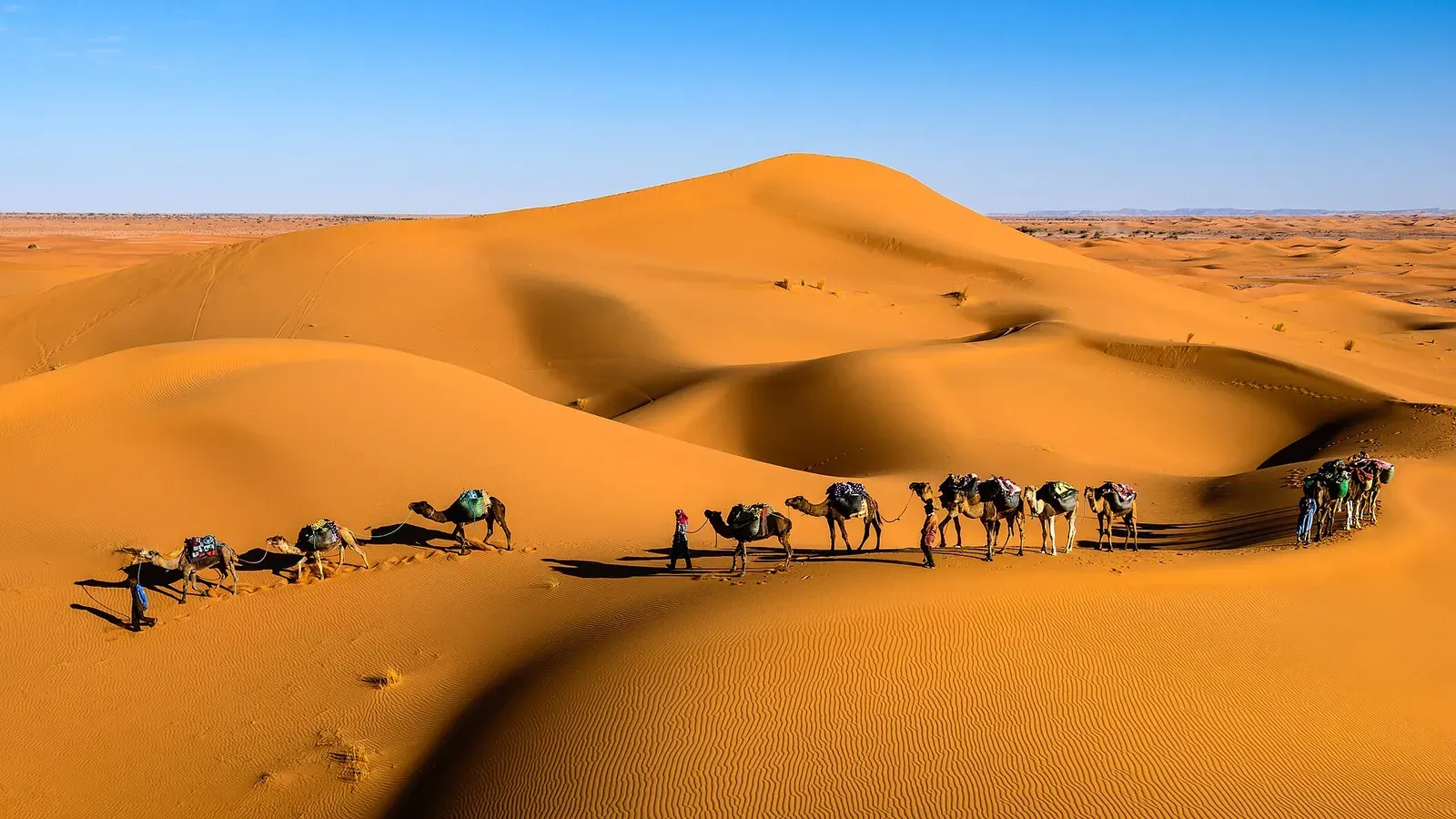 Erg ChigagaErg Chigaga guide: where it is, how high the dunes really are, the 4x4 piste from M'hamid, camp types, best months and how many days to plan.Read the guide
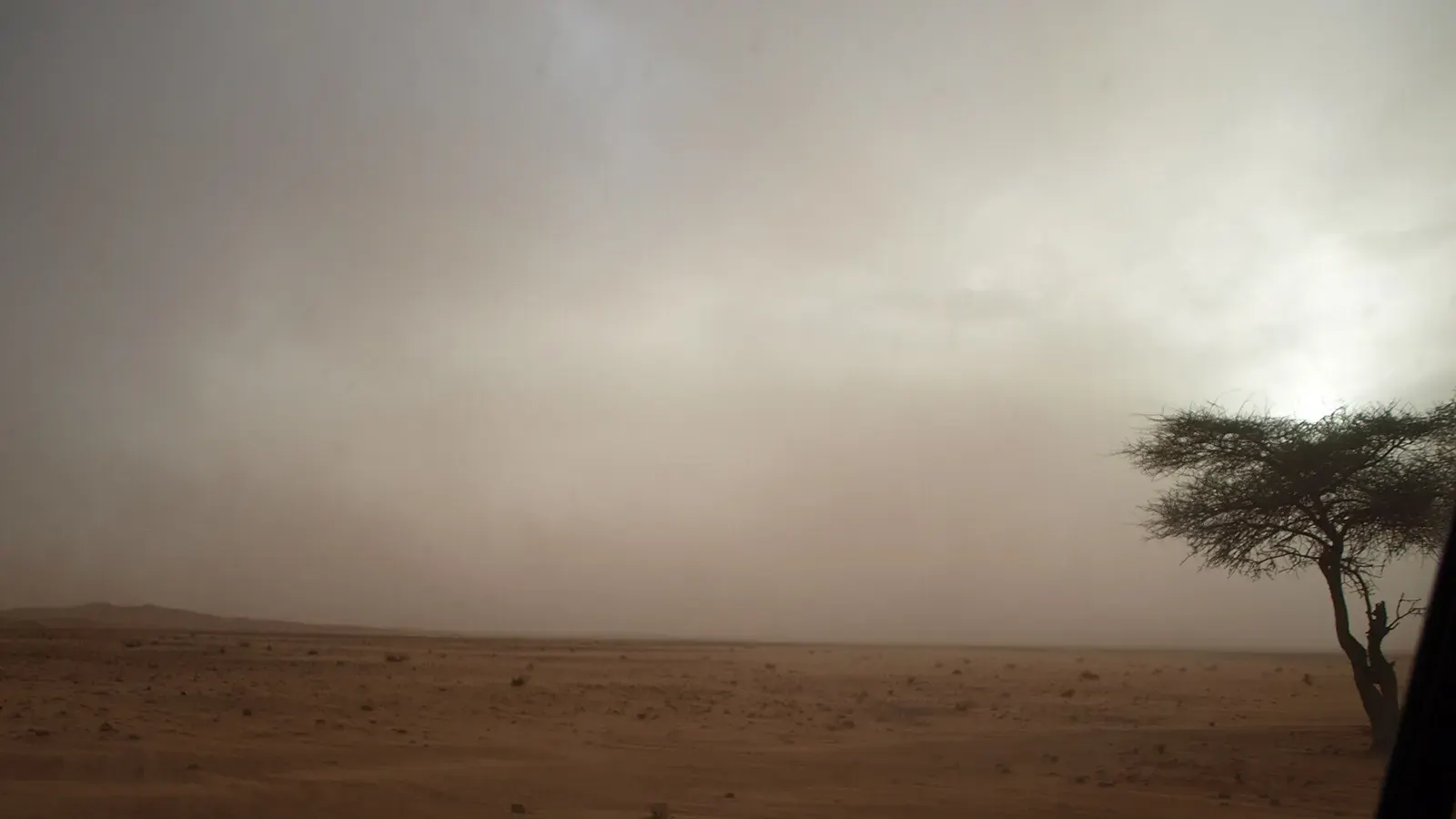 How to get to Erg ChigagaHow to get to Erg Chigaga: the M'hamid and Foum Zguid pistes, drive times from Marrakech, Ouarzazate, Zagora and Agadir, and the truth about self-driving.Read the guide
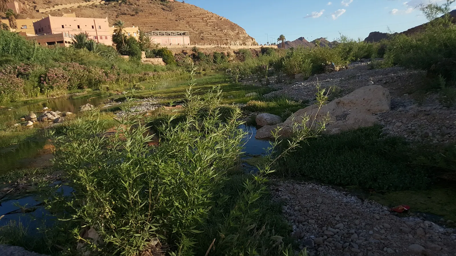 Tata MoroccoTata Morocco guide: the oasis town and province, Akka's rock engravings, ksour, the N12 to Foum Zguid, distances, weather, and why it isn't a dune stop.Read the guide
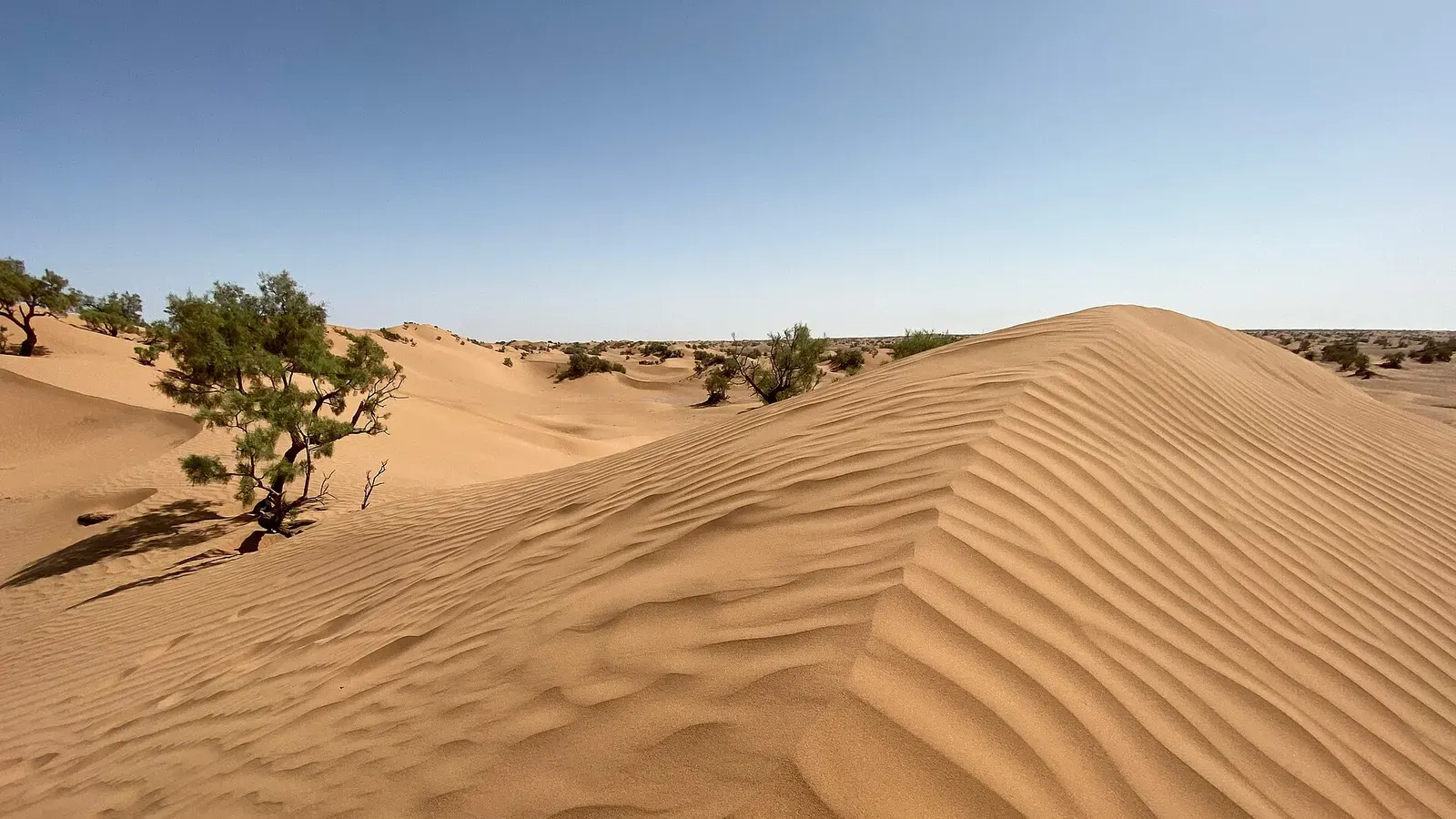 Mhamid MoroccoMhamid Morocco guide: where the N9 ends, how to get there from Zagora or Marrakech, nearby dunes, the 4x4 piste to Erg Chigaga, weather and festivals.Read the guide
 Desert oasis MoroccoDesert oasis Morocco guide: how khettaras and date palms keep the southern oases alive, why they are shrinking, and 11 oases you can visit, with distances.Read the guide