Travel guide
Desert oasis Morocco: how the palm groves work and where to see them
For most travellers, the desert oasis Morocco offers is a palm grove seen through a car window on the way to the dunes: the Drâa valley south of Ouarzazate, Skoura, Tinghir or the Tafilalet. Stop the car and walk in, and you find a farm built in three storeys, watered by channels that people have maintained for centuries. This guide explains how these oases work, why so many are in trouble, and which ones you can actually visit, with distances from the nearest town.
How a Saharan oasis works
Water first: rivers, springs and khettaras
An oasis exists wherever there is dependable water in dry country. In southern Morocco that water comes mostly from the Atlas. The Drâa, Dadès, Todra and Ziz rivers carry snowmelt and rain off the mountains, and their valleys turn into long green ribbons with bare rock on both sides. Elsewhere, as in Figuig or Tighmert, the oasis grows around springs.
Where there is no surface water, people dig for it. A khettara is a gently sloping tunnel that taps the water table at the foot of a hill and leads the water to the fields by gravity, with no pump. From above you see a line of shafts, like a row of craters, used to dig the tunnel and clear out sand. Algeria calls the same system a foggara and Iran a qanat. The Tafilalet once had several hundred khettaras (counts range from about 400 to 570), and only around half still carry water. At Jorf, west of Erfoud on the R702, you can walk down into a dry section.
Once the water reaches the grove, it is shared by turn. In Tata, a water clock at Agadir Lehna still measures each family’s share of irrigation time.
Three layers under the palms
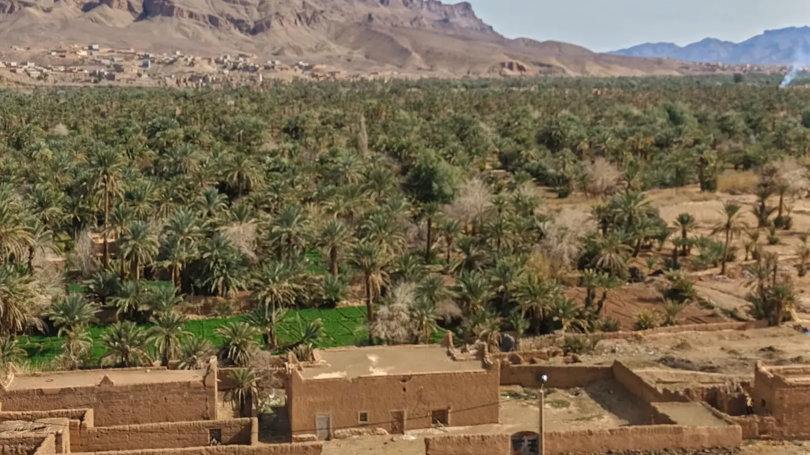
Look up in any palm grove and you see the top storey: date palms, whose crowns block the worst of the sun and wind. Under them grows a middle layer of fruit trees such as olive, fig and pomegranate. At ground level, small walled plots hold barley, wheat, vegetables and alfalfa for the animals. The shade keeps the soil cooler and damper than the desert a few metres away, and that is the whole trick behind every desert oasis Morocco has.
Ksour and kasbahs
The villages sit at the edge of the palms, never on the irrigated land itself. A ksar (plural ksour) is a fortified village of earth, usually with a single gate, narrow covered lanes and a mosque. A kasbah is a fortified house built by a powerful family. Many are half ruined because families have moved into concrete houses along the road, but plenty are still lived in, which is why the road from Ouarzazate south is sometimes sold as “kasbahs and desert”.
Why Morocco’s oases are in trouble
The oases are shrinking, and the reasons stack up.
The oldest is bayoud, a fungal disease of the date palm. FAO says it was first reported near Zagora in 1870 and has since killed more than twelve million palms in Morocco. The fungus lives in the soil, travels with irrigation water and infected offshoots, and has no cure. Researchers estimate the country once had around 15 million palms or more; official and academic figures now give roughly 6 to 7 million.
Water is the second problem. Since the Mansour Eddahbi dam near Ouarzazate started regulating the Drâa in the early 1970s, the lower river is dry most of the year. Wells have to go deeper, and cash crops pull on the same aquifer as the taps. In 2017, residents of Zagora took to the streets after repeated cuts to their drinking water, and many blamed watermelon farms for draining the groundwater.
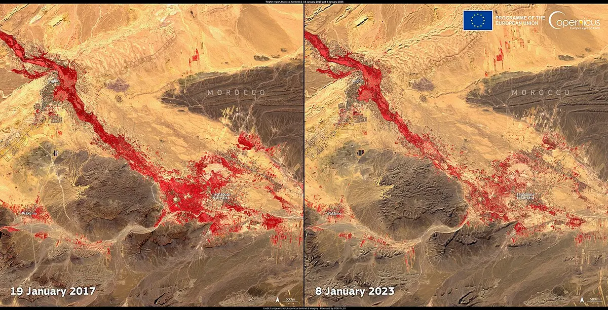
Fire is the newest. According to the national oasis agency ANDZOA, about 172,000 palms burned in oasis fires between 2009 and June 2024, across roughly 1,423 ha. The agency names Tata, Errachidia and Guelmim as the worst-hit provinces and points to dry fronds that nobody clears now that families cook with gas instead of palm wood.
There is a response. A 2009 to 2020 programme planted about 3 million date palms, and the current plan aims for 5 million more by 2030, using climate-adapted varieties, including disease-free plants grown in vitro. Whether replanting keeps pace with drought is the open question.
A UNESCO biosphere reserve for the southern oases
In 2000, UNESCO designated the Réserve de biosphère des oasis du sud marocain (RBOSM), which covers 7,185,371 ha, from humid Atlas slopes down to the hyper-arid Sahara. UNESCO describes its date palm groves as the backbone of the local economy. A biosphere reserve is not a park: there is no gate or ticket. It is a framework under which Morocco commits to managing the oases for both people and nature. Separately, the Tafilalet oasis has been listed as a Ramsar wetland since 2005.
Desert oasis Morocco at a glance: the oases you can visit
Road distances come from route planners (Rome2rio and OSRM on OpenStreetMap data) and the regional tourism boards, rounded.
| Oasis | Area | From the nearest town | What you see |
|---|---|---|---|
| Skoura | east of Ouarzazate | about 40 km from Ouarzazate on the N10 | Amridil kasbah, palm grove paths |
| Fint | south of Ouarzazate | 12 to 15 km, the last 10 km or so on piste | a small green valley in bare hills |
| Agdz and Tamnougalt | upper Drâa | about 65 km from Ouarzazate | Mezguita palm grove, Kasbah des Caïds |
| Zagora and Tamegroute | middle Drâa | Tamegroute 18 to 20 km south of Zagora | Ternata palm grove, library, pottery |
| M’hamid El Ghizlane | end of the N9 | 96 to 98 km south of Zagora | the last Drâa oasis, old ksour |
| Tinghir | Todra valley | 163 to 168 km east of Ouarzazate | palm grove below the Todra gorge |
| Erfoud and Rissani | Tafilalet, Ziz valley | Rissani about 20 km south of Erfoud | date fair, ruins of Sijilmasa |
| Figuig | eastern border | about 370 km south of Oujda | seven ksour, spring-fed gardens |
| Tata and Akka | south of the Anti-Atlas | Akka 63 km south-west of Tata | khettaras, water clock, rock art |
| Foum Zguid | Jbel Bani | 123 to 124 km west of Zagora | palm grove, piste to Erg Chigaga |
| Tighmert | Oued Noun | about 10 to 18 km east of Guelmim | palm grove, khettaras, small museum |
Oases near Ouarzazate: Skoura and Fint
Ouarzazate itself is a town on a dry plateau rather than an oasis; our guide to things to do in Ouarzazate covers the kasbah and film studios. Two real oases sit close by.
Skoura is about 40 km east on the N10, the road to Tinghir and the Dadès. Several streams from the High Atlas meet here and spread into a wide palm grove dotted with kasbahs. The best known, Amridil, began as a 17th-century ksar, gained a tall kasbah in the late 19th century, and appeared on the old 50-dirham note. Paths wind between the earth walls and irrigation channels, and a few hours on foot here teach you more about oasis life than a day of driving.
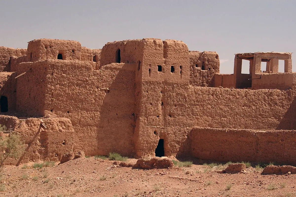
Fint is the opposite in scale: a narrow green valley in bare hills, 12 to 15 km south of Ouarzazate, reached by a track of about ten kilometres that a car can manage when dry. People live and farm here, so stay on the paths and ask before photographing anyone.
The Drâa valley: Agdz, Tamegroute and the Zagora oasis
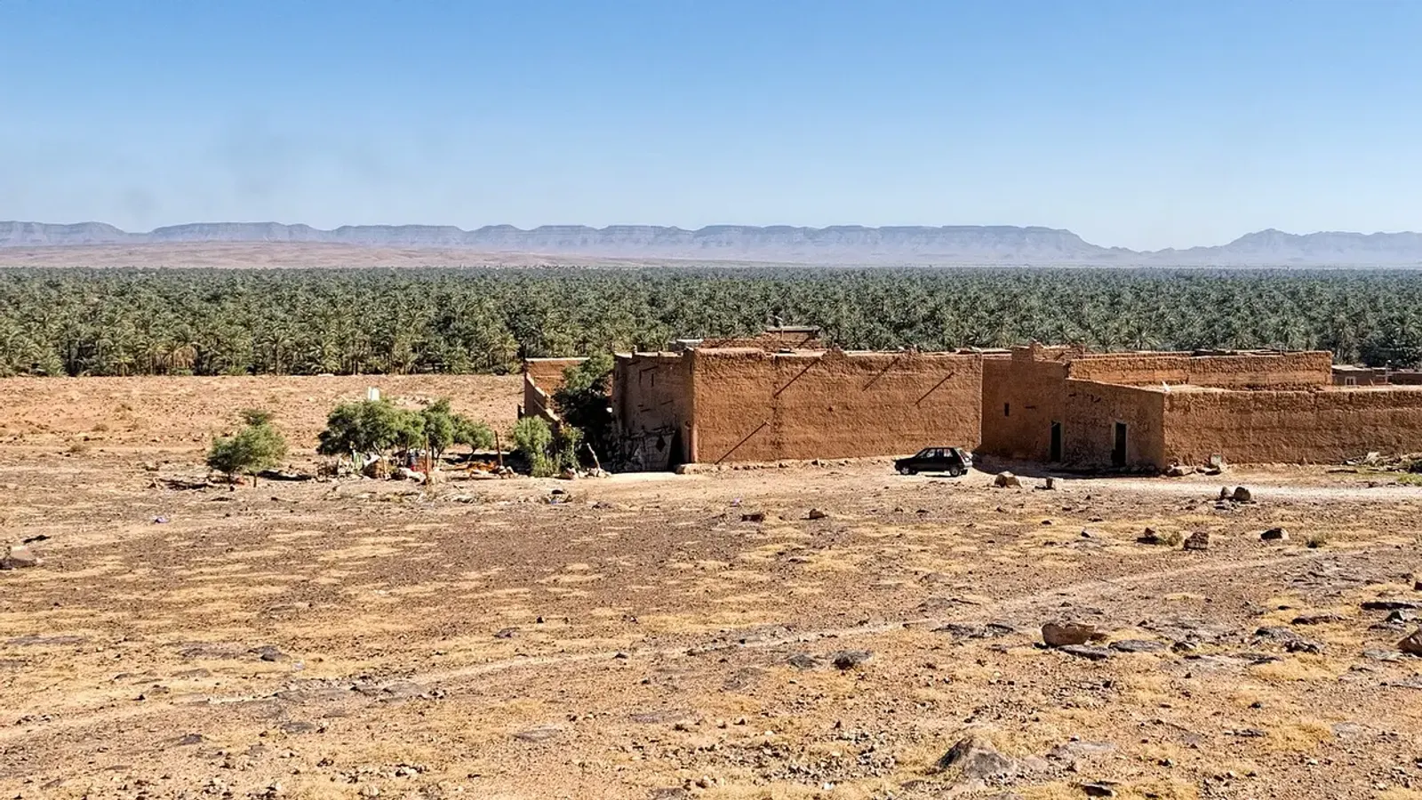
South of Ouarzazate, the N9 crosses the Tizi n’Tinififft pass and drops into the Drâa at Agdz. From there to M’hamid, the river feeds six oasis stretches: Mezguita, Tinzouline, Ternata, Fezouata, Ktaoua and M’hamid. These are the date palm groves near Zagora that most tours drive through. Our Ouarzazate to Zagora guide lists the photo stops, including the earth ksar of Tamnougalt, 6 km south of Agdz.
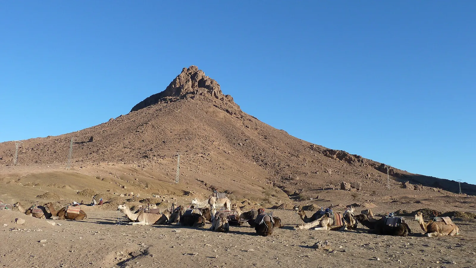
The Zagora oasis is the Ternata stretch, with the town strung along the road beside it. Walk the palmeraie of Zagora early in the morning, then drive 18 to 20 km south to Tamegroute for its Sufi library of old manuscripts and its green-glazed pottery. The Zagora Morocco guide has the details, along with an honest note on how little sand there is around town.
M’hamid, the last oasis before the dunes
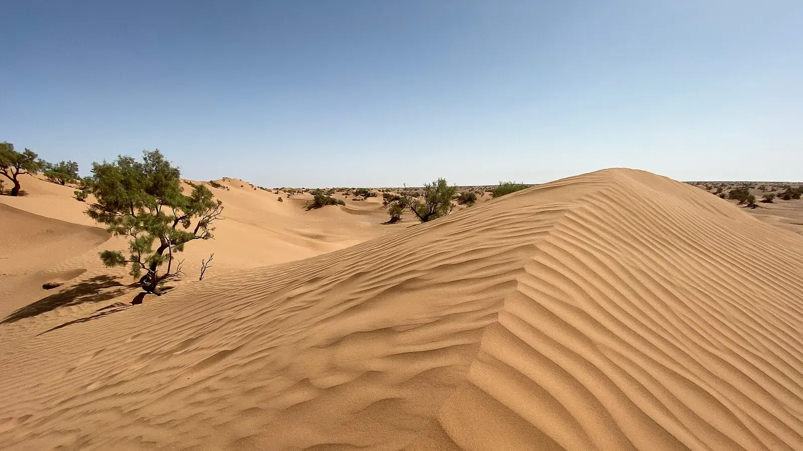
At the bottom of the valley, 96 to 98 km past Zagora, M’hamid El Ghizlane is where the tarmac and the palms both run out. The Drâa is usually a dry bed by now, and several old ksour stand half empty among the trees. Beyond lies hamada and then Erg Chigaga. On the piste west, drivers often stop at the small “sacred oasis” of Oum Lâalag, a spring and a cluster of palms in open desert.
Tinghir and the Todra palm grove
Tinghir, 163 to 168 km east of Ouarzazate, sits above a palm grove that fills the valley floor: a solid band of green along the Todra river, with earth villages on the slopes above. About 15 km upstream, the valley closes into the Todra gorge, where the walls stand roughly 10 m apart at the narrowest point. The walk down through the palms from the gorge road is the best way to see the grove up close.
The Tafilalet: Erfoud and Rissani
The Tafilalet is the oasis of the Ziz river, around Erfoud and Rissani, long known for its dates. Erfoud hosts SIDATTES, the international date fair: its 15th edition ran from 28 October to 1 November 2026. Rissani, about 20 km south, grew up beside the ruins of Sijilmasa, the medieval caravan city at the northern end of the trade route to the Niger. The Alaouite dynasty, which still rules Morocco, rose to power here in the 17th century.
Most travellers pass through on the way to Merzouga and Erg Chebbi, a short drive beyond Rissani. If you are choosing a desert, our Erg Chebbi vs Erg Chigaga comparison sets the two sides against each other.
Figuig, on the eastern border
Figuig is far from every other oasis on this page, about 370 km south of Oujda and 100 to 110 km beyond Bouarfa, right against the closed Algerian border. It is worth the trip if oases are your real interest. Seven ksour share several hundred thousand palms, fed by springs and underground channels and divided among families by a water-sharing system that FAO listed as a Globally Important Agricultural Heritage System in 2022. The oasis has been on UNESCO’s World Heritage tentative list since 2011. Stay away from the border line itself.
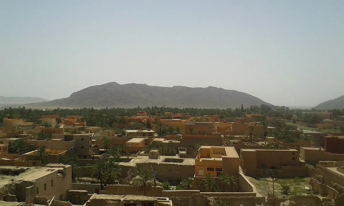
The south-west: Tata, Akka, Foum Zguid and Tighmert
Along the Jbel Bani ridge, a chain of oases follows the N12. Tata has the khettaras, the water clock and a set of ksour such as Agadir Lehna. Akka, 63 km south-west, adds rock engravings and the fortified village of Agadir Ouzrou, so Tata and Akka make a good two-day loop. To the east, Foum Zguid is a palm oasis where the Oued Zguid cuts through the ridge, and the last town before the western piste to Erg Chigaga.
Further west, Tighmert lies about 10 to 18 km east of Guelmim, depending on which part of the long palm grove you head for. It is one of the oldest oases in the south, with springs, khettaras and a small caravan museum in an old kasbah.
Visiting an oasis without trampling it
Whichever desert oasis Morocco trip you plan, remember that every plot in a palm grove belongs to someone. Stay on the paths and never pick dates or fruit, even from the ground. A local guide is useful in the larger groves, where paths split constantly and walls all look the same. Dress modestly in the villages and ask before photographing people. Ksar walls are raw earth and crumble easily, so keep off them.
October to April is the pleasant season. Spring brings green fields under the palms; late autumn is harvest and fair time. In summer, go at dawn and rest through the afternoon.
Plan your trip
Most desert oasis Morocco itineraries string several groves along one route: Skoura and the Drâa on the way to Erg Chigaga, or Tinghir and the Tafilalet on the way to Merzouga. Start with the Ouarzazate to Zagora drive and the M’hamid El Ghizlane guide, or look at our Marrakech desert tours if you would rather have a driver handle the route.
Frequently asked questions
How does an oasis survive in the Sahara?
Every Moroccan oasis sits on a reliable source of water: a river coming down from the Atlas, like the Drâa, Dadès or Ziz, a spring, or a groundwater table that people tap with khettaras, gently sloping tunnels that carry water to the fields by gravity. Date palms then shade the ground, which lets fruit trees, cereals and fodder grow beneath them in a cooler, damper microclimate. Without constant maintenance of the channels, the system dries out.
What is a khettara?
A khettara is an underground channel that collects groundwater at the foot of a slope and leads it, by gravity alone, to the palm grove. From the surface you see a line of shaft openings, used to dig the tunnel and clear it out. Algeria calls the same system a foggara, Iran a qanat. In the Tafilalet only about half of the old khettaras still carry water.
What is bayoud disease?
Bayoud is a disease of the date palm caused by a soil fungus, Fusarium oxysporum f. sp. albedinis. It was first reported around Zagora in 1870 and spread through almost every Moroccan palm grove. FAO puts the losses at more than twelve million palms in Morocco over a century, and there is still no cure. Control relies on resistant varieties and on not moving infected offshoots.
Which desert oasis is closest to Marrakech?
Skoura, east of Ouarzazate, is the nearest large Saharan-side palm grove: about 235 to 240 km from Marrakech by road over the Tizi n'Tichka pass, roughly four and a half hours of driving. Fint, a small valley oasis 12 to 15 km south of Ouarzazate, is a similar distance. Both work as stops on a longer trip rather than as a day trip from Marrakech.
Is the Marrakech Palmeraie a desert oasis?
Not in the Saharan sense. The Palmeraie is a large palm grove on the northern edge of Marrakech, on the plain below the High Atlas, and today it is mostly villas, hotels and quad or camel rides. Its old khettaras have been dry since the early 1970s. The real desert oases start on the other side of the mountains, around Ouarzazate, Skoura and the Drâa valley.
Is Zagora an oasis?
Yes. Zagora is the main town of the Ternata oasis, one of six oasis stretches that line the Drâa between Agdz and M'hamid. The town itself is a provincial capital with a long avenue and hotels, but the palm grove runs alongside it on the river, and you can walk its paths early in the morning. Tamegroute, with its library and green pottery, is about 18 to 20 km further south.
When is the best time to visit Morocco's oases?
October to April is the comfortable season. Highs in Zagora average about 19°C in January and 30°C in October, while July averages over 40°C. Spring brings green fields under the palms, and late autumn is date season: the international date fair in Erfoud ran from 28 October to 1 November 2026. In summer, walk the palm groves at dawn.
Sources we checked
- Oasis du sud marocain biosphere reserve (UNESCO MAB)
- Réserve de Biosphère des Oasis du Sud Marocain (Protected Planet)
- Date palm diseases: bayoud (FAO)
- Oases fires devour 172,000 palm trees in Morocco since 2009 (Morocco World News, July 2024)
- Oasis fires since 2009 (SNRT News)
- Morocco plans to plant 5 million date palm trees by 2030 (Morocco World News)
- Production prévisionnelle des dattes, campagne 2024-2025 (SNRT News)
- Qanat (Wikipedia)
- Jorf khettaras (Showcaves)
- Morocco's thirst revolution and the luxury of watermelons (Qantara)
- Skoura (Wikipedia)
- Oasis de Fint (Routard)
- Todgha Gorge (Wikipedia)
- Tafilalt (Wikipedia)
- Erfoud accueille la 15e édition du SIDATTES (Le Matin)
- Oasis de Figuig (UNESCO World Heritage Tentative List)
- The ksour of Figuig (FAO GIAHS)
- Figuig (Routard)
- Tourisme durable : l'oasis de Tighmert (Médias24)
- Centuries-old oases in Morocco struggling with drought (Copernicus image of the day)
- OSRM route planner (OpenStreetMap data)
Keep exploring
Related pages
 Zagora MoroccoZagora Morocco guide: where it is, what the desert really looks like, Tamegroute, Tinfou dunes, the Timbuktu sign, weather and how to get there.Read the guide
 Mhamid MoroccoMhamid Morocco guide: where the N9 ends, how to get there from Zagora or Marrakech, nearby dunes, the 4x4 piste to Erg Chigaga, weather and festivals.Read the guide
 Ouarzazate to ZagoraOuarzazate to Zagora: 157 to 165 km on the N9 over the Tizi n'Tinififft pass, via Agdz and Tamnougalt. Drive times, photo stops, bus options.Read the guide
 Tata MoroccoTata Morocco guide: the oasis town and province, Akka's rock engravings, ksour, the N12 to Foum Zguid, distances, weather, and why it isn't a dune stop.Read the guide
 Foum ZguidFoum Zguid guide: where it is, drive times from Agadir, Marrakech and Zagora, the piste to Erg Chigaga via Lake Iriki, fuel, souk day and weather by month.Read the guide
 Things to do in Ouarzazate, the desert gateway south of the High AtlasThings to do in Ouarzazate: Taourirt Kasbah, Atlas Studios, Aït Benhaddou, the Fint and Skoura oases, plus weather, transport and how long to stay.Read the guide