Travel guide
Ouarzazate to Zagora: the N9 over the mountains to the Drâa valley
The road from Ouarzazate to Zagora is about 160 km of paved N9 (157 to 165 km depending on your start and end point), and it takes 2 hours 40 minutes to 3 hours without stops. In that distance you climb over a bare Anti-Atlas ridge, drop into the oasis town of Agdz and then follow the Drâa river for more than 90 km of palm groves and mud-brick villages. With stops, plan for half a day rather than three hours.
Ouarzazate to Zagora at a glance
The figures below come from route planners and published road guides. They differ by a few kilometres because each one measures from a different point in town.
| Stretch | Distance | Driving time (no stops) | What you see |
|---|---|---|---|
| Ouarzazate to Agdz, over the Tizi n’Tinififft pass | 65 to 67 km | about 1 h 15 to 1 h 20 | Stony plateau, a long climb into bare mountains, then a canyon descent with Jbel Kissane ahead |
| Agdz to Zagora | 92 to 95 km | 1 h 30 to 1 h 50 | Drâa palm groves, ksour and kasbahs on both banks |
| Total | 157 to 165 km | 2 h 40 to 3 h |
The road is paved and in good condition. If you drive yourself, try to arrive before dark: villages along the Drâa have people, bikes and animals on the road until late, and they are hard to see once the light goes.
Mountains from Ouarzazate to Zagora, Morocco
The mountains on this drive are not the High Atlas you crossed to reach Ouarzazate. South of town the N9 heads for a ridge of the Anti-Atlas, at the western end of the Jbel Saghro massif. Geographers treat Saghro as the eastern extension of the Anti-Atlas, with the Drâa valley separating the two. Large areas of the range are bare rock, so the slopes look burnt and empty even in winter.
The road tops out at the Tizi n’Tinififft pass, at about 1,690 m (Dangerous Roads gives 1,693 m and Climbfinder 1,694 m; a few travel blogs give 1,660 m, which is too low). The saddle itself is unremarkable. The good part is the southern side. The road has been rebuilt with wider, straighter bends, and from the Agdz side the climb is about 20 km long with roughly 785 m of height gain and a maximum gradient near 7%. Several pull-outs on the descent give you clean views down a narrow canyon dotted with small green plots.
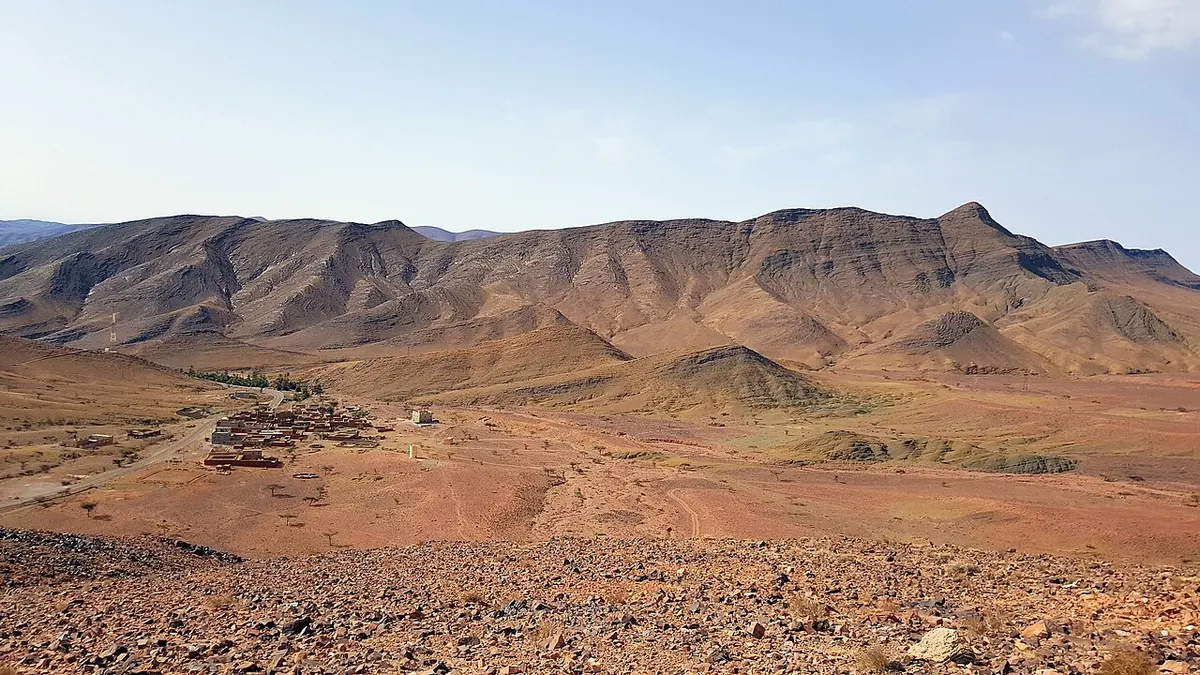
As you come down, look east for Jbel Kissane. The ridge runs for about 14 km, its highest point is around 1,485 m, and it rises straight above the east side of Agdz. Once it appears, you know the Drâa valley has begun.
Agdz and the kasbahs of Tamnougalt
Agdz is a market town of about 10,000 people, roughly 65 km from Ouarzazate and 92 km from Zagora according to Wikipedia (other guides say 75 to 80 km from Ouarzazate, measured from different points). It is the obvious place for a coffee break. The main square sits on the N9, and the palm grove spreads out below the town along the river.
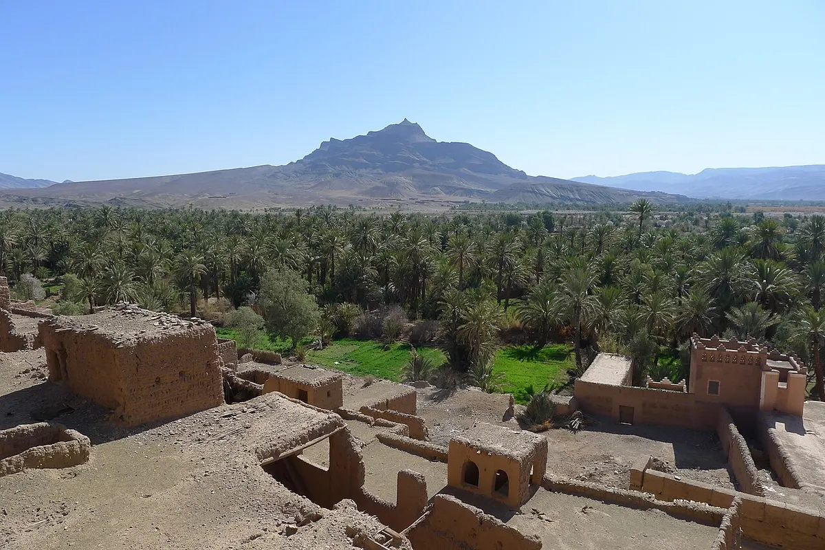
About 6 km south of Agdz, a short side road crosses the Drâa to Tamnougalt. This earth-built ksar was the old capital of the Mezguita oasis and the seat of the caïds who governed this stretch of the valley. Its kasbah, often called the Kasbah des Caïds, is open to visitors, and members of the family that once governed it still show people around. Give it an hour if you can: the maze of rooms, ceilings and courtyards is the best close-up look at Drâa architecture between Ouarzazate and Zagora.
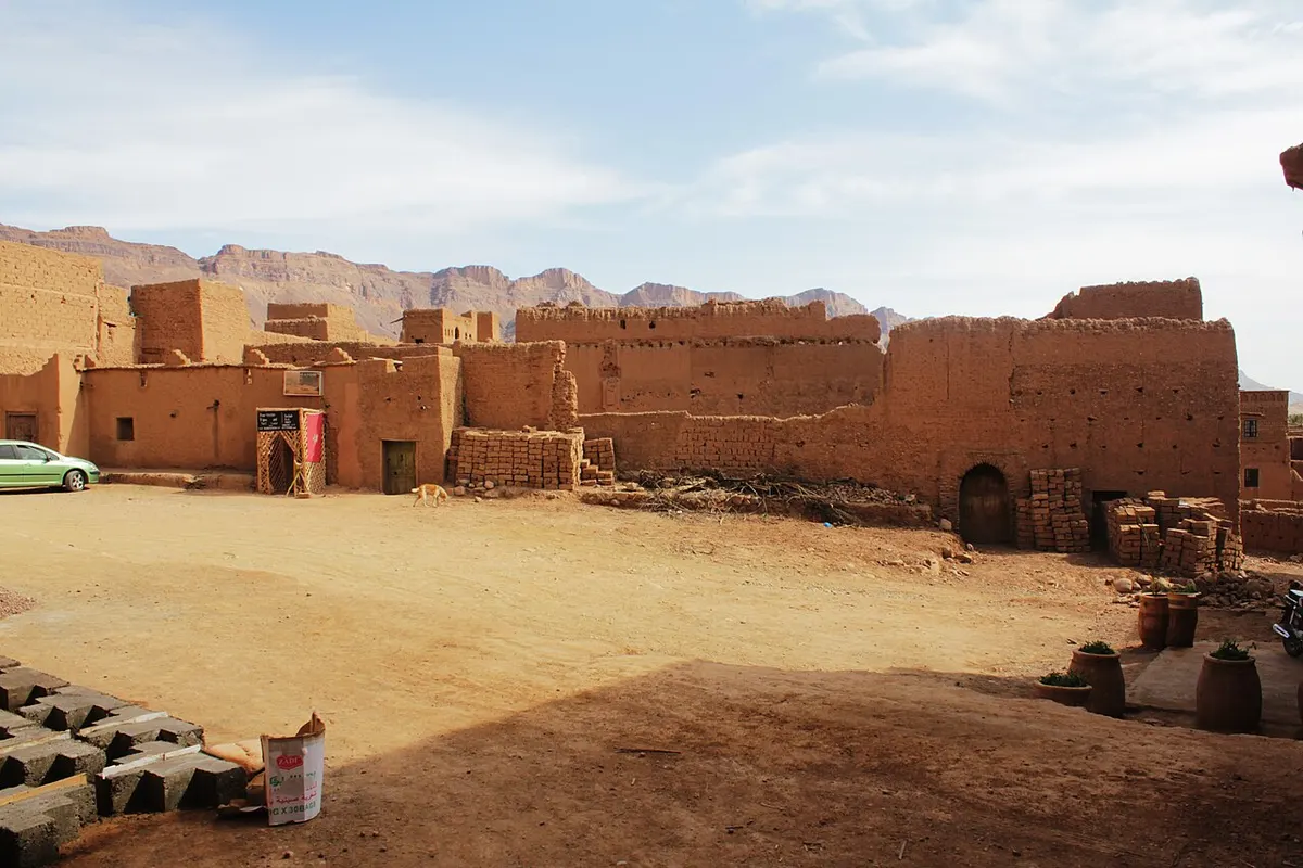
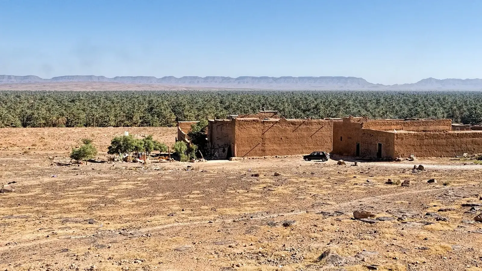
Drâa valley: Zagora palm groves and ksour
From Agdz to Zagora the N9 runs close to the river. The Drâa is Morocco’s longest river, about 1,100 km from its source to the Atlantic, but only the upper valley is green year-round. That upper valley, roughly 200 km long, is divided into six oasis stretches: Mezguita (around Agdz), Tinzouline, Ternata (with Zagora), Fezouata (with Tamegroute), Ktaoua (with Tagounite) and M’hamid at the end of the road.
On this drive you pass through the first three. The pattern repeats for kilometres: a band of date palms along the riverbed, small irrigated plots in their shade, and earth-coloured ksour set back on the dry ground above the palms. Fodor’s counts about two dozen ksour and kasbahs on the two banks between Agdz and Zagora. Timidarte and Tinzouline are the names you will see most often on signs and in guidebooks.
Light makes a big difference here. In the middle of the day the palms look flat and grey-green. Early morning or the last two hours before sunset bring out the red of the walls and the contrast with the river, so if you are driving south in the afternoon, slow down for the last 50 km.
Photo stops between Ouarzazate and Zagora
These are the stops most drivers and guides use. None needs more than a short walk from the road, except Tamnougalt.
- The southern side of the Tizi n’Tinififft pass, where pull-outs look down the canyon toward Agdz.
- The first view of Jbel Kissane as the road levels out above Agdz.
- The Agdz palm grove, seen from the edge of town near the river.
- Ksar Tamnougalt and its kasbah, 6 km south of Agdz across the Drâa.
- The stretch between Tinzouline and Zagora in the last two hours of daylight, when the ksour walls turn red against the palms.
Ouarzazate things to do before you head south
Ouarzazate sits at about 1,150 m on a plateau between the High Atlas and the Anti-Atlas, and it had 79,218 residents at the 2024 census. It calls itself the door of the desert, which is fair as a gateway but a little misleading: there are no dunes around town.
If you have a few hours before driving to Zagora, start with the Taourirt Kasbah in the town centre, a large rammed-earth residence that the Glaoui family owned and enlarged in the late 19th and 20th centuries. Atlas Studios, about 5 km west of town, is a working film studio that runs guided tours; Gladiator, Kingdom of Heaven, The Mummy and Game of Thrones all shot scenes there or nearby.
Aït Ben Haddou, about 30 km northwest of Ouarzazate, is the fortified ksar that UNESCO listed as a World Heritage Site in 1987. It sits on a short detour from the N9 if you are coming from Marrakech, so it is easier to see on the way in than as a separate trip.
Ouarzazate is about 196 to 198 km from Marrakech over the Tizi n’Tichka pass, 3 hours 20 minutes to just under 4 hours of driving before stops. Sleeping here lets you start the Drâa leg fresh the next morning, when the light on the palm groves is at its best. For the full set of distances from Marrakech, Agadir and Fes, see our distance from Marrakech to Sahara desert guide.
Ouarzazate to Zagora without a car
As of November 2026, CTM lists two daily buses from Ouarzazate to Zagora: an early departure around 5:00 and an afternoon one around 16:30, each taking about 3 hours. Supratours and CTM also run Marrakech to Zagora services, about 7 hours, which pass through Ouarzazate. The Marrakech to Ouarzazate bus takes about 4 to 5 hours, with CTM, Supratours and private companies on the route. For M’hamid, route planners show no direct bus from Ouarzazate, only shared taxis from Zagora for the last 95 km or so (about 1 h 30), although CTM has run a direct Marrakech to M’hamid line (stop: Lamhamid Ghozlane) that follows the N9 through Ouarzazate; check on ctm.ma whether it picks up passengers there. Schedules move around, especially during Ramadan and around Eid, so confirm at the station or on the operator’s website the day before.
There is no train: Morocco’s rail network ends at Marrakech.
Zagora is not the end of the road
Set your expectations for Zagora before you arrive. The town has a long palm grove, dates that Rough Guides rates among the country’s finest, and stony desert all around, but very little sand. The nearest dunes, at Tinfou, are a small patch about 25 km further south. For big dunes you keep going: M’hamid is about 95 km beyond Zagora at the end of the asphalt, and Erg Chigaga is another 50 to 60 km of piste from there. Our guide to Zagora Morocco covers the town itself, and Zagora or Erg Chigaga explains which one fits your trip.
Plan the rest of the trip
- Continue south to M’hamid, the last oasis before the dunes, and on to Erg Chigaga.
- Check the weather month by month in our guide to the best time to visit Sahara desert Morocco.
- If you would rather not drive, see our Marrakech desert tours.
Frequently asked questions
How far is it from Ouarzazate to Zagora?
By road it is about 157 to 165 km, depending on where you start in Ouarzazate and where you stop in Zagora. The whole route is the paved N9. Route planners give 2 hours 40 minutes to 3 hours of driving. Agdz, roughly 65 km from Ouarzazate, is the natural halfway stop, and the last 92 to 95 km follow the Drâa river to Zagora.
What mountains do you cross from Ouarzazate to Zagora?
South of Ouarzazate the N9 climbs over a bare ridge of the Anti-Atlas at the western end of the Jbel Saghro massif. The top is the Tizi n'Tinififft pass, at about 1,690 m. On the far side the road drops through a small canyon to Agdz, where the long ridge of Jbel Kissane (about 1,485 m) fills the view to the east.
Is Ouarzazate in the Sahara desert?
Not really. Ouarzazate sits on a high plateau at about 1,150 m, between the High Atlas and the Anti-Atlas. The land around it is stony and dry, and the town calls itself the door of the desert, but there are no big dunes nearby. The closest sand worth the name lies south of Zagora, and the large dune seas of Erg Chigaga are further still.
Can you take a bus from Ouarzazate to Zagora?
Yes. As of November 2026, CTM lists two daily departures from Ouarzazate to Zagora, one early in the morning and one in the late afternoon, taking about 3 hours. Supratours and CTM also run Marrakech to Zagora services through Ouarzazate. Timetables change, so check the operator's website or the bus station a day ahead.
How far is Ouarzazate from Marrakech?
Ouarzazate is about 196 to 198 km from Marrakech by the N9 over the Tizi n'Tichka pass. Route planners estimate 3 hours 20 minutes to just under 4 hours of driving, and with stops most people take 4 to 5 hours. Buses run by CTM, Supratours and private companies take about 4 to 5 hours.
Is the Ouarzazate to Zagora road difficult to drive?
No. It is a paved national road, and the climb to the Tizi n'Tinififft pass was rebuilt with wider, straighter bends. Gradients reach about 7% on the steepest parts. The main hazards are the usual ones in southern Morocco: slow trucks on the climb, people and animals in villages, and driving after dark, which is best avoided.
How many days in Ouarzazate do you need?
For most people heading to the desert, one night is enough. That gives you an afternoon for the Taourirt Kasbah or a tour of Atlas Studios, and an early start south toward Agdz and Zagora. Add a second day if you want to visit Aït Ben Haddou without rushing, or take a side trip to the Dadès valley.
Sources we checked
- Tizi n'Tinififft (Dangerous Roads)
- Tizi n'Tinififft from Agdz (Climbfinder)
- Agdz (Wikipedia)
- Tamnougalt (Wikipedia)
- Tamnougalt (Fodor's)
- Le ksar de Tamnougalte (Sud Est Maroc)
- Jbel Kissane (Wikipedia)
- Jbel Saghro (Wikipedia)
- The Drâa (Rough Guides)
- Draa River (Wikipedia)
- Ouarzazate (Wikipedia)
- Atlas Studios (Wikipedia)
- Ksar of Ait-Ben-Haddou (UNESCO World Heritage Centre)
- Ouarzazate to Zagora route (Rome2rio)
- Ouarzazate to Zagora bus (CheckMyBus)
- Marrakech to Ouarzazate route (Rome2rio)
- M'Hamid (Wikivoyage)
Keep exploring
Related pages
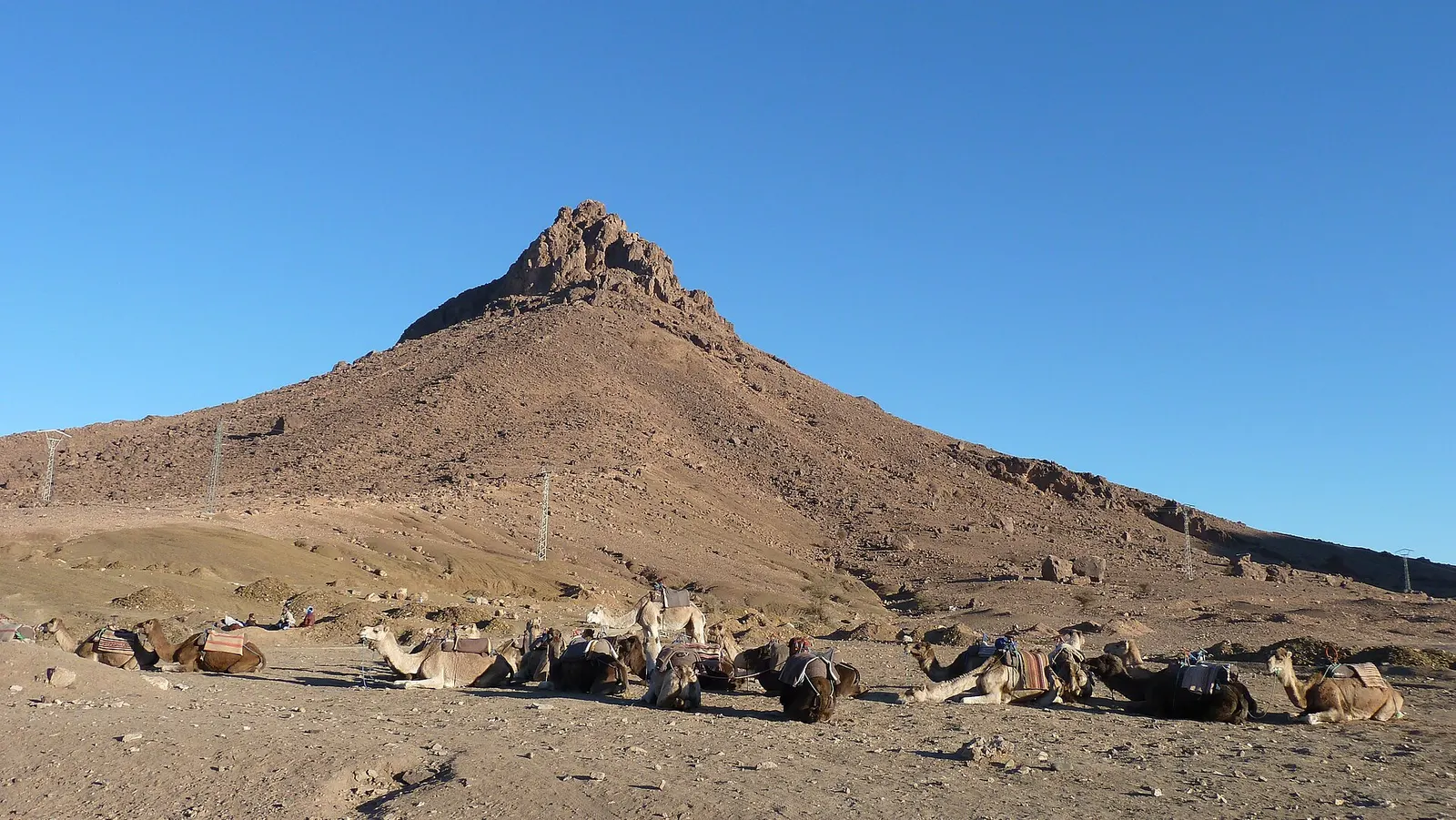 Zagora MoroccoZagora Morocco guide: where it is, what the desert really looks like, Tamegroute, Tinfou dunes, the Timbuktu sign, weather and how to get there.Read the guide
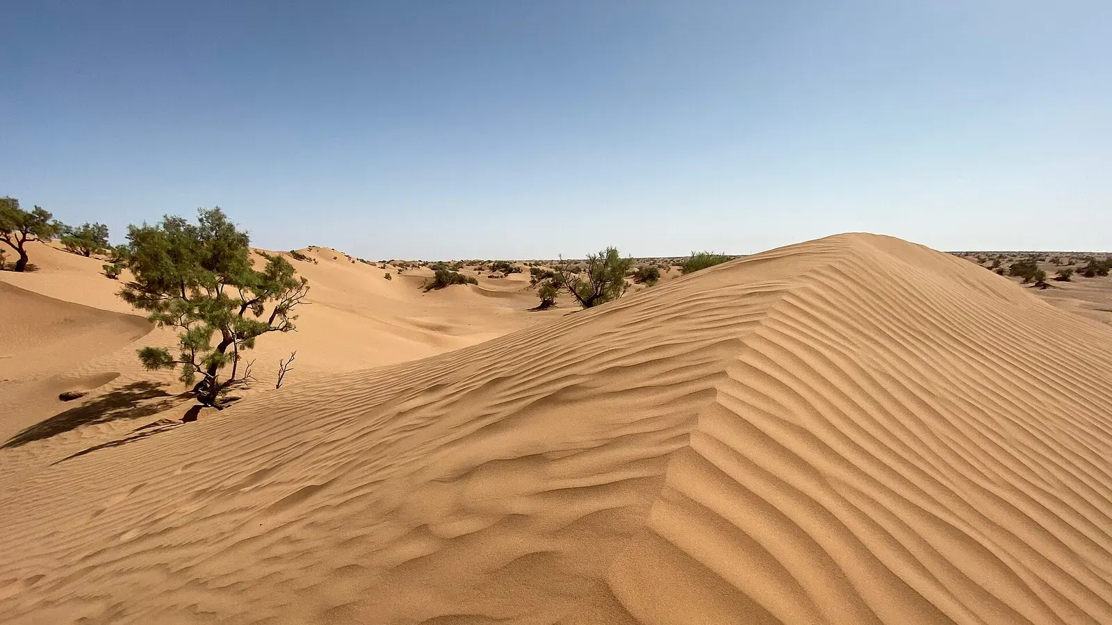 Mhamid MoroccoMhamid Morocco guide: where the N9 ends, how to get there from Zagora or Marrakech, nearby dunes, the 4x4 piste to Erg Chigaga, weather and festivals.Read the guide
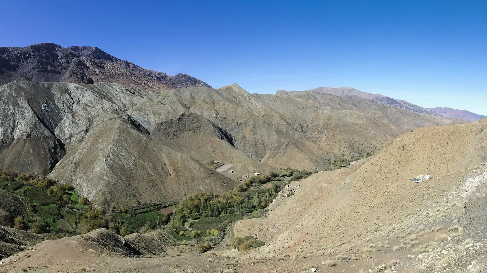 Distance from Marrakech to Sahara desert campsDistance from Marrakech to Sahara desert dunes: Zagora 350 km, Erg Chigaga about 500 km, Merzouga 534 to 560 km. Drive times, Tichka pass, buses, flights.Read the guide
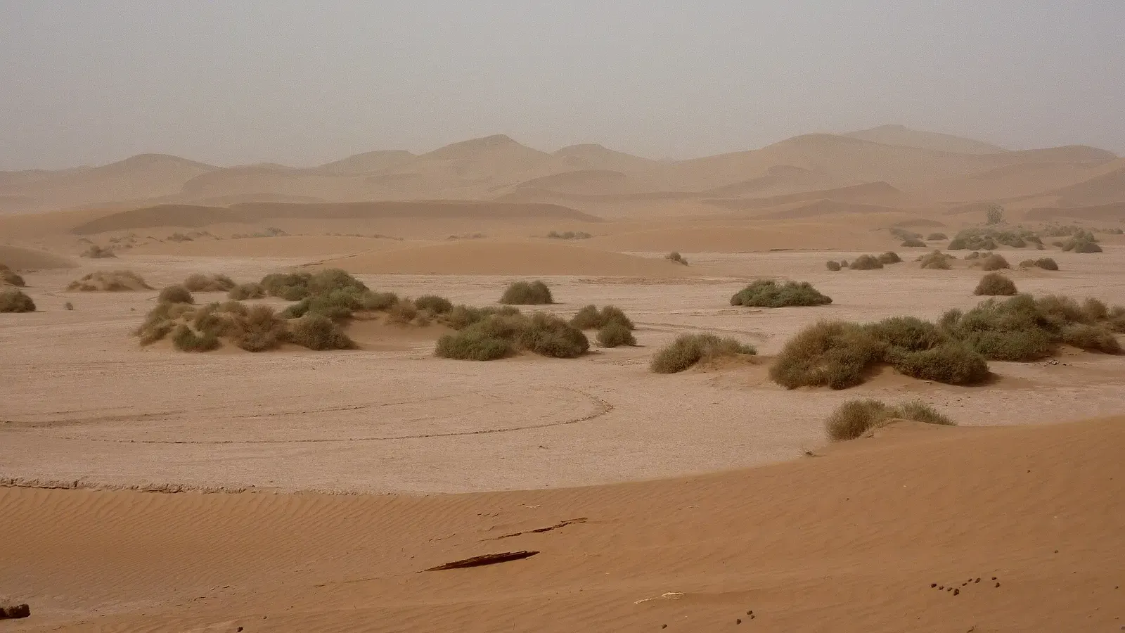 Zagora or Erg ChigagaZagora or Erg Chigaga? An honest comparison of dune size, drive times from Marrakech, crowds and what a 2-day Zagora tour really gets you.Read the guide
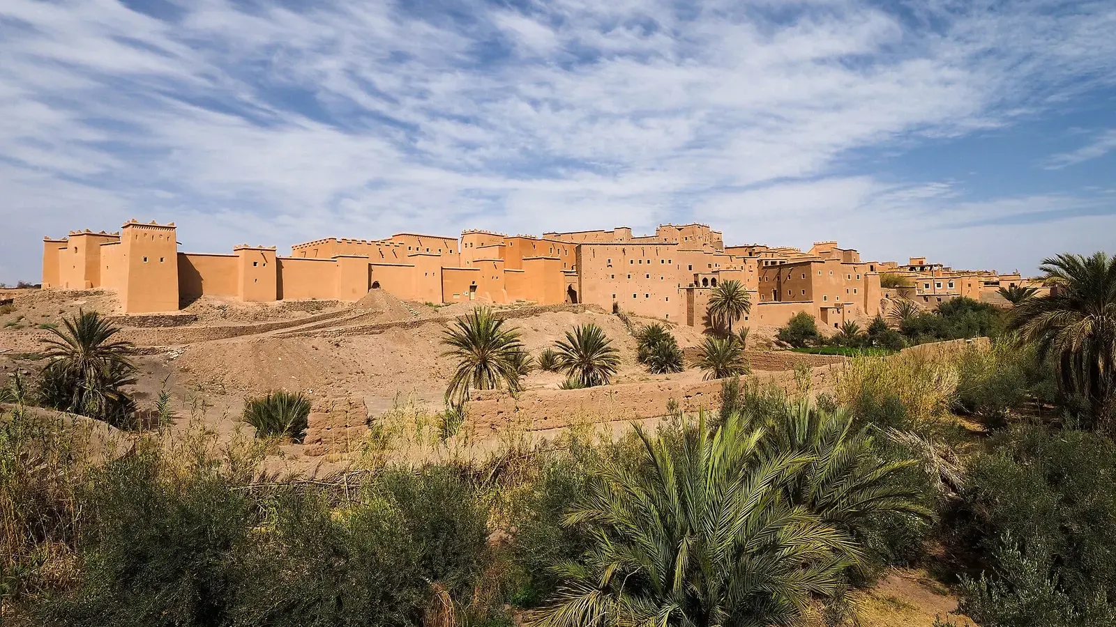 Things to do in Ouarzazate, the desert gateway south of the High AtlasThings to do in Ouarzazate: Taourirt Kasbah, Atlas Studios, Aït Benhaddou, the Fint and Skoura oases, plus weather, transport and how long to stay.Read the guide
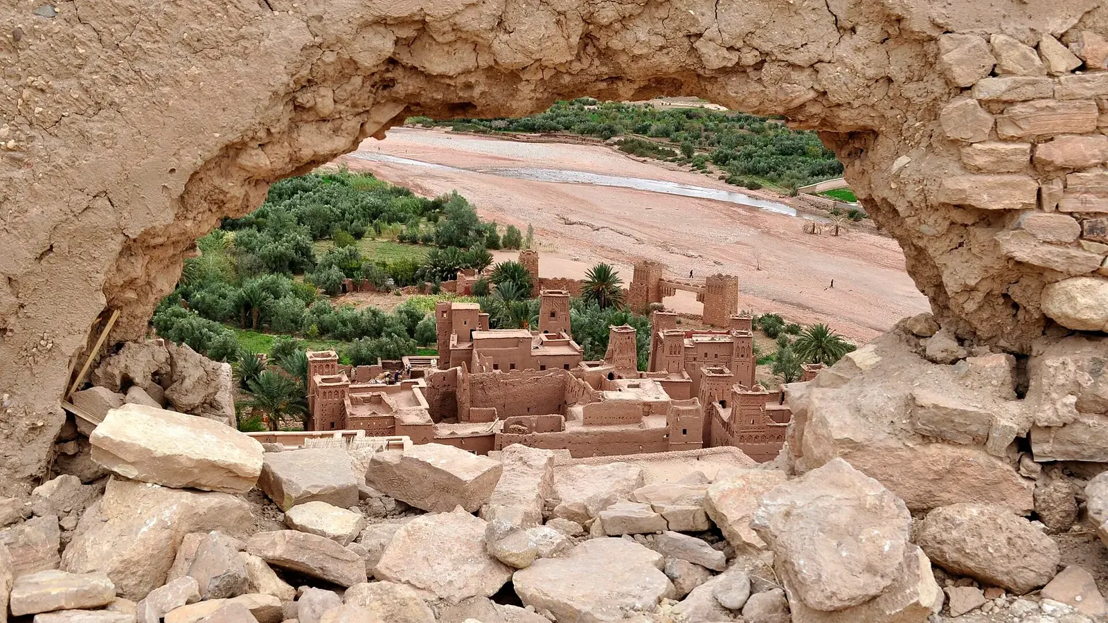 Movies filmed in OuarzazateMovies filmed in Ouarzazate, checked title by title: Gladiator, Game of Thrones, The Odyssey and more, plus how to visit Atlas, CLA and the cinema museum.Read the guide
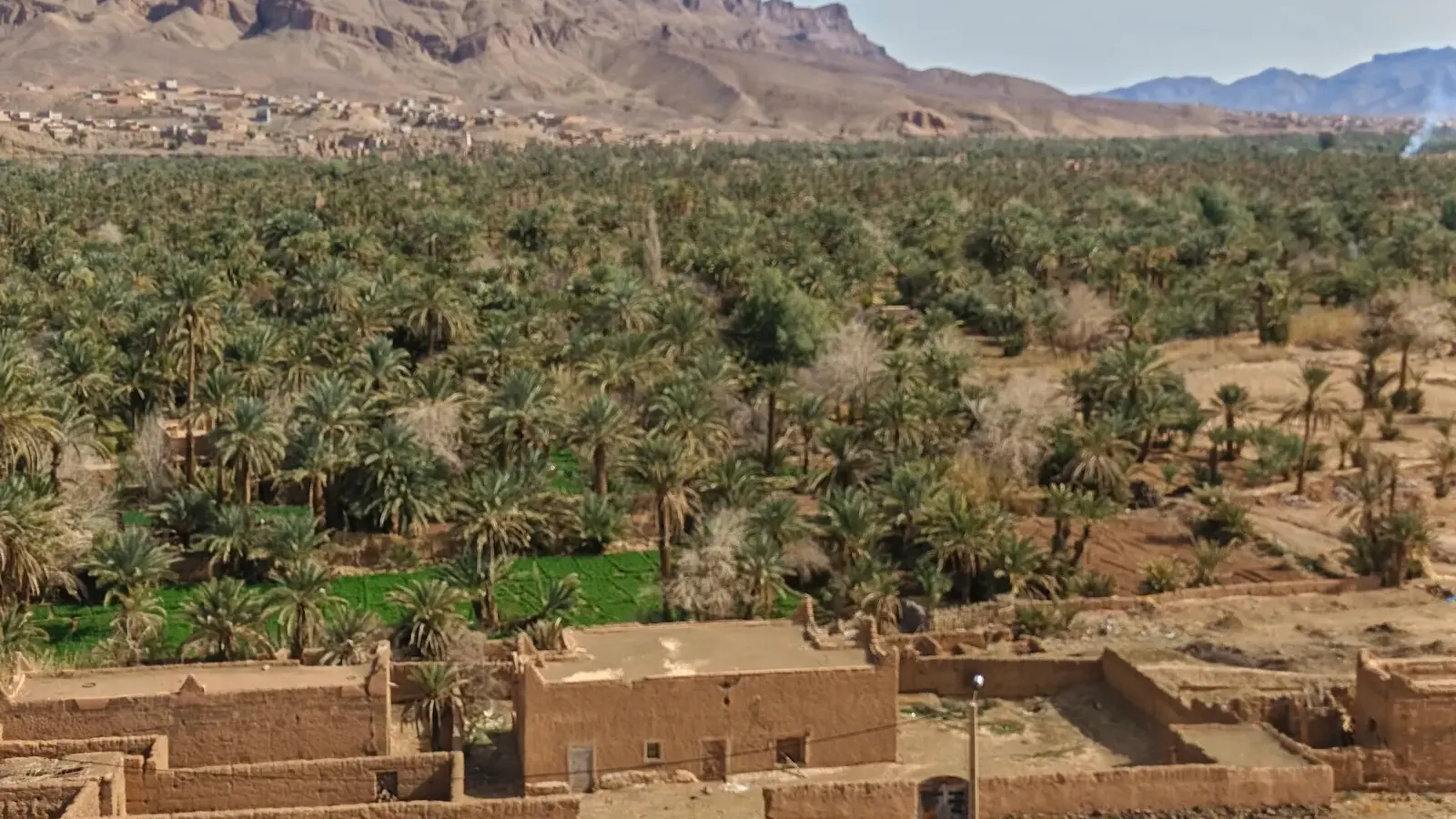 Desert oasis MoroccoDesert oasis Morocco guide: how khettaras and date palms keep the southern oases alive, why they are shrinking, and 11 oases you can visit, with distances.Read the guide